The 1911 map shows the Waterside Branch running along the side of the Etherow having crossed a viaduct. Today this looks far from industrial and has been developed as a bridle-way.

I wanted images of the river flowing into the lowland rural farmland, and also to illustrate how the regenerative process has hidden this aspect of its industrial past.
My first visit was just to explore the area and look for locations. 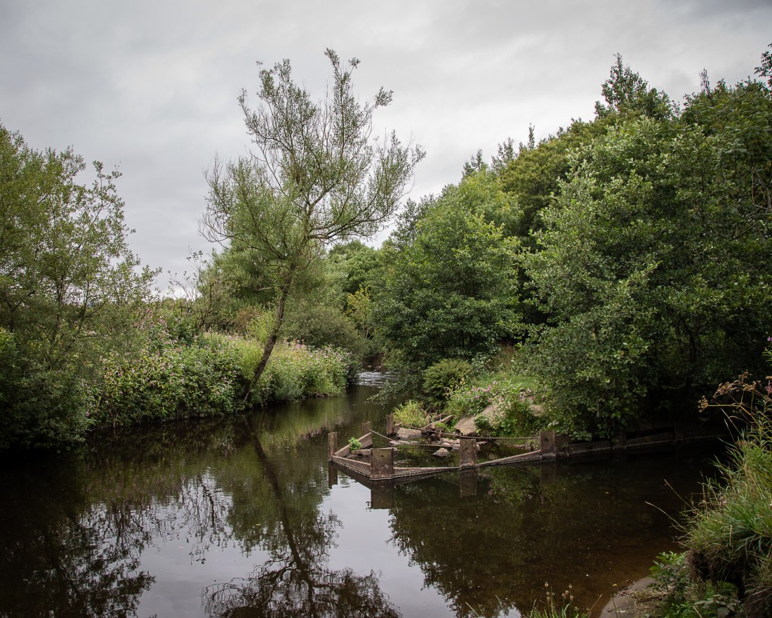
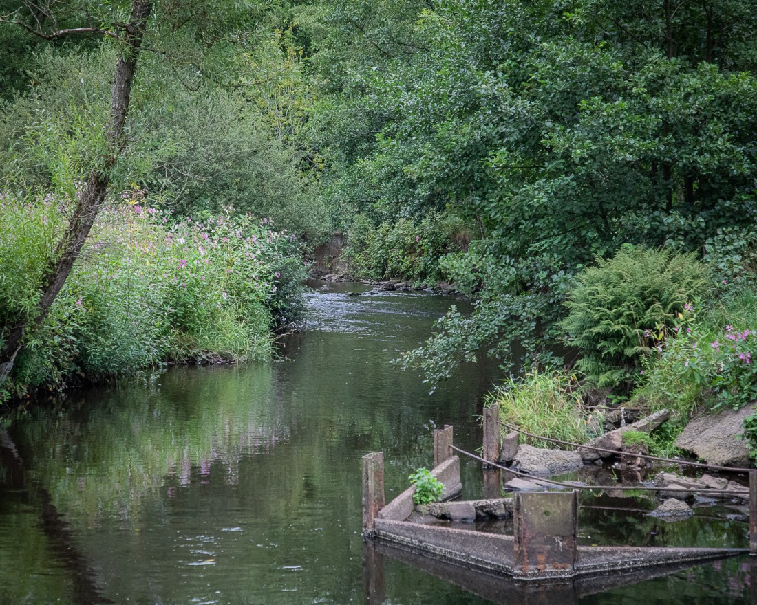
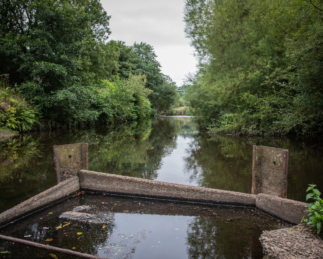
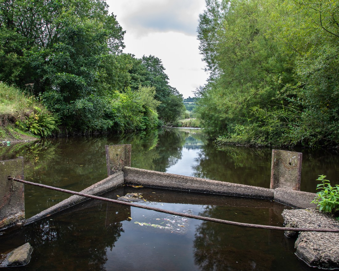
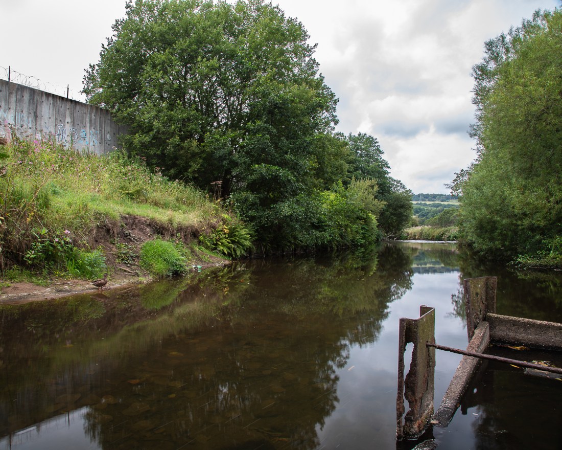
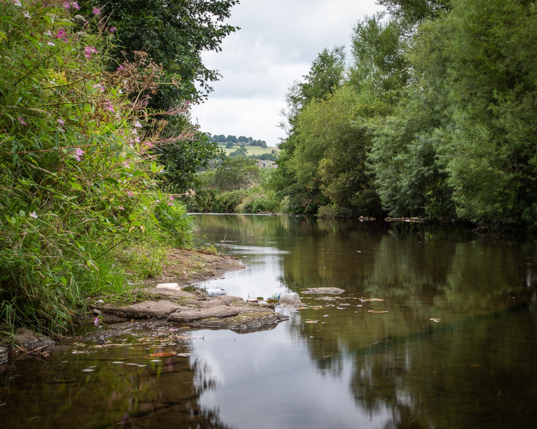
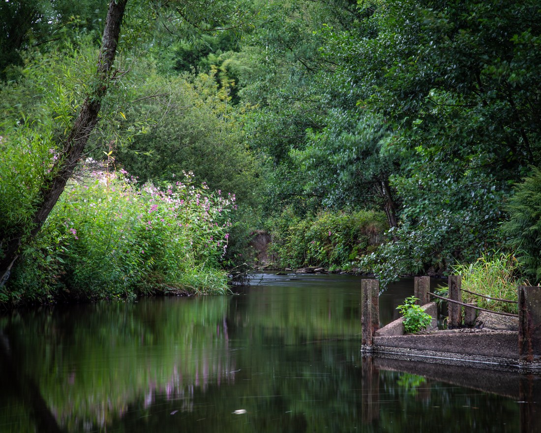
These images show the area without a hint of the railway which ran on the right hand bank of the far river or the viaduct crossing the near one. The only hint is the iron work remaining in the river.
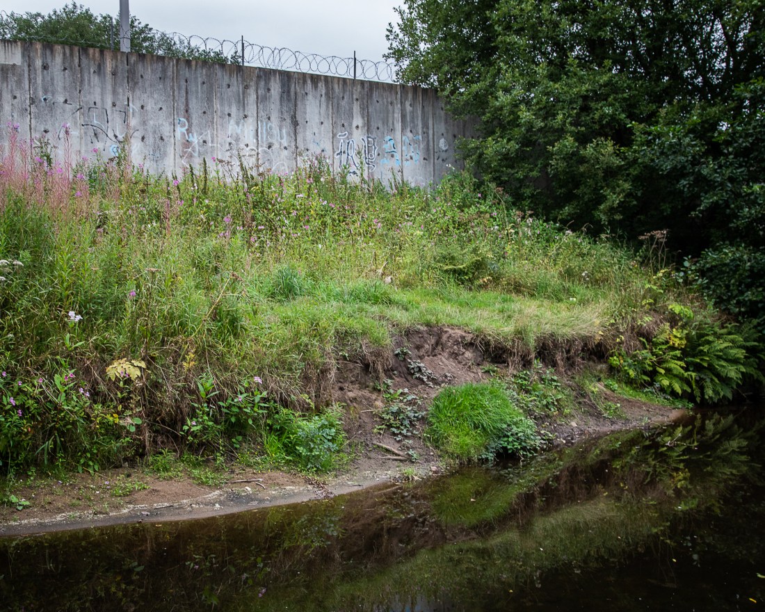
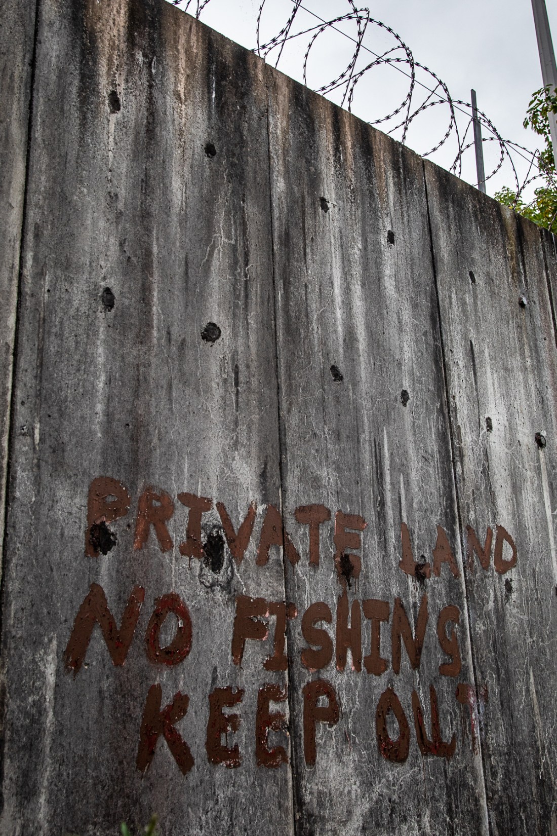
Nearby today however is the council tip and this is as intrusive into a rural scene as the old railway, and shows how the access to the river is still controlled.
I was looking for a view of the river leaving the post-industrial area to the rural and wanted something like this.
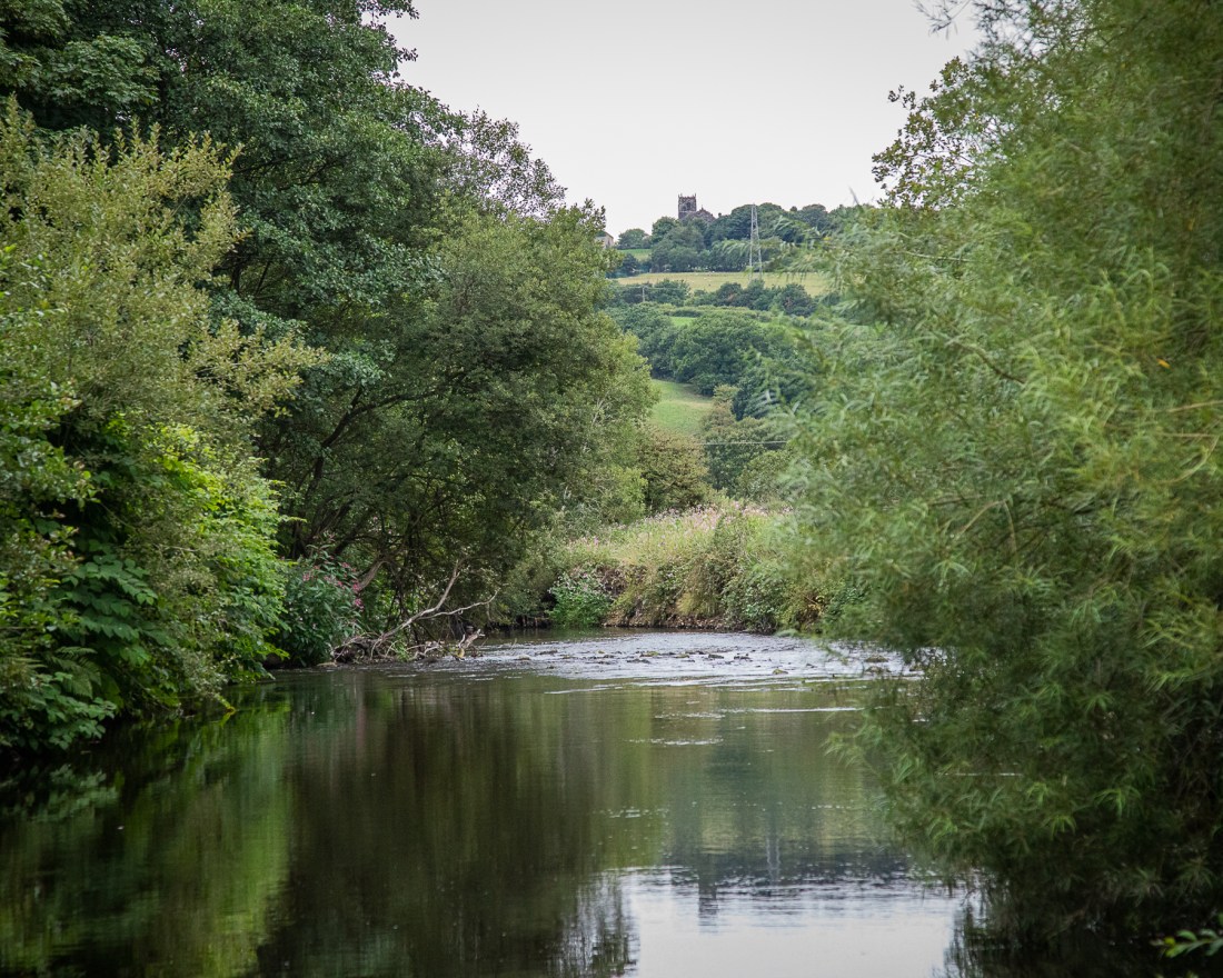
Although this does not show any suggestion of change of use, so more like this is preferable to me.
I have revisited with tripod and polarising filter to retake these to add what I think is a better quality of depiction of the water.
Other images from the revisit also show that.

I will aim to use some of these in my final submission.
