To complete my images of the river as it passes through Glossop, I walked up on to the moors above the town and followed the course down to the hill farms and into Old Glossop.
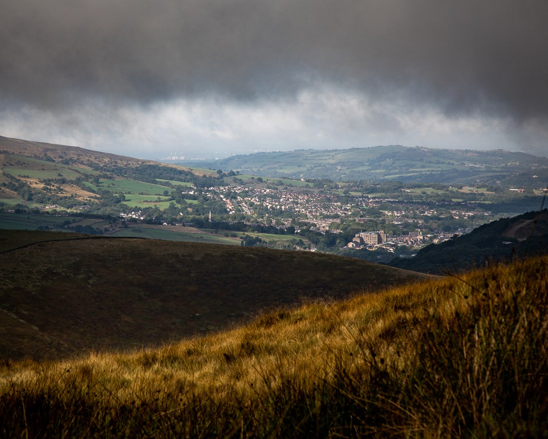
I had hoped to get images as I envisaged in my story board, of Glossop sitting between the moors and the plain. However there was heavy cloud and I only found this lower down.
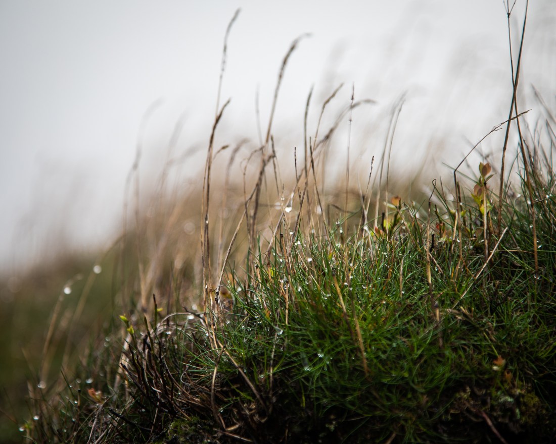
While waiting for the cloud to clear, I noticed the droplets of water on the grass and thought this encapsulated the source of the rivers, and the humidity of the atmosphere that allegedly attracted cotton spinners to the area.
I also noticed the paving of the footpaths. Many of these are reclaimed flagstones from old mills. These images illustrate how the fabric of the old mills is now being used to protect the peatland which was so damaged by the pollution from those same mills when they were in use. This underpins the cycle of regeneration and regrowth I am trying to show.


Down in the valley, the river passes through agricultural land. This is a sheep farming area and it is the effect of their grazing which has produced the landscape we now see: apparently natural, but in its own way as artificial as the industrial landscapes of the town.
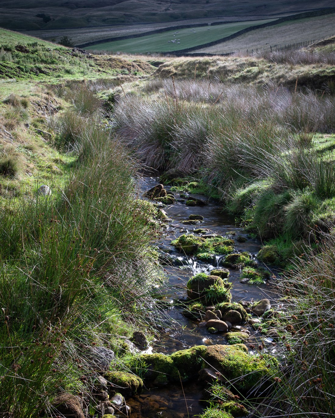
Yellowslacks Brook
In Old Glossop the brook returns to the industrial landscape. But here it is of new, working factories, not the derelict mills of the town centre.


