2018-10-05 Video Feedback with Andy Hughes: Assignment 1

2018-10-05  Assignment 1 Feedback Meeting
Call with Andy Hughes

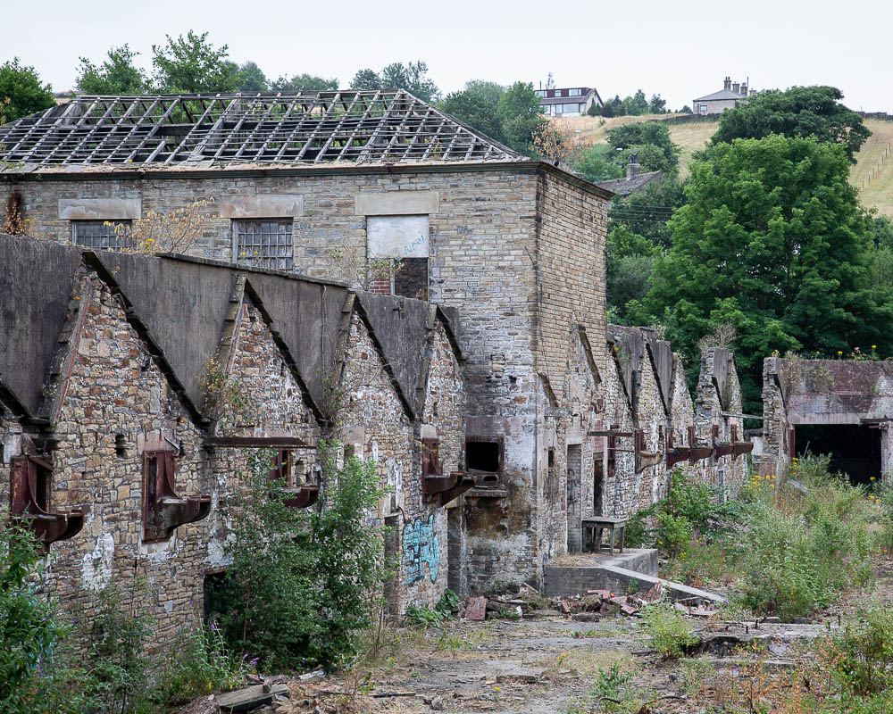
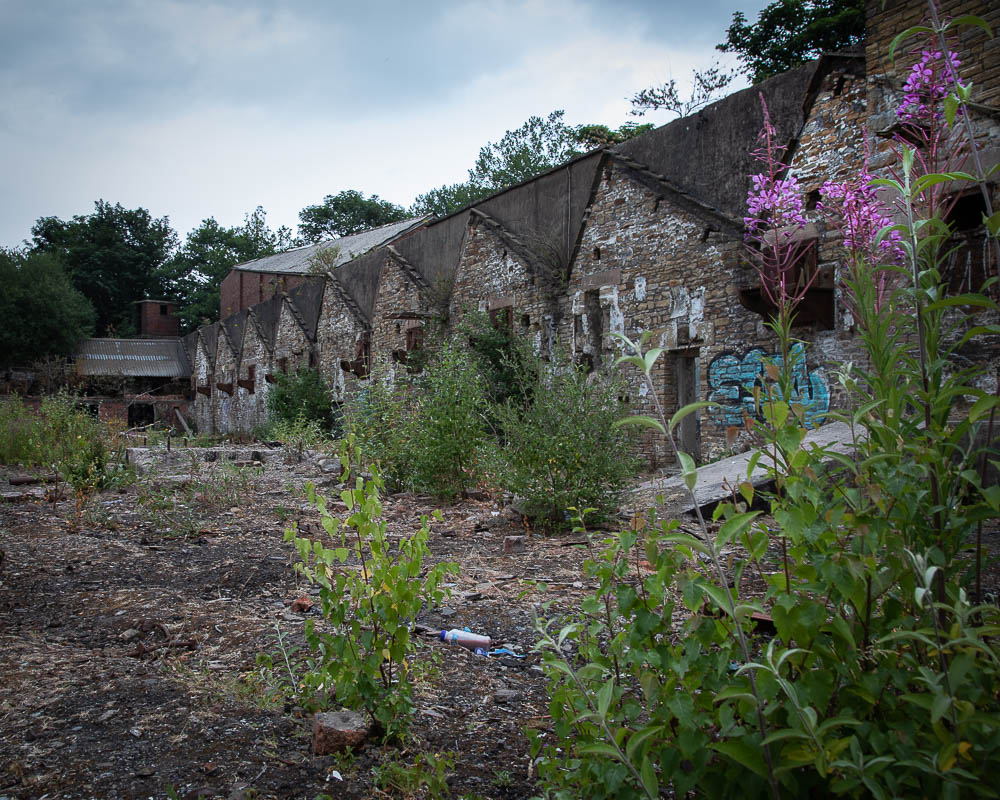
This was the second video call with my tutor and followed me submitting my assignment “Square Mile” for his consideration.

Feedback on my assignment:
Andy told me that the technical quality of the images I had submitted was good and at the standard required for the course.
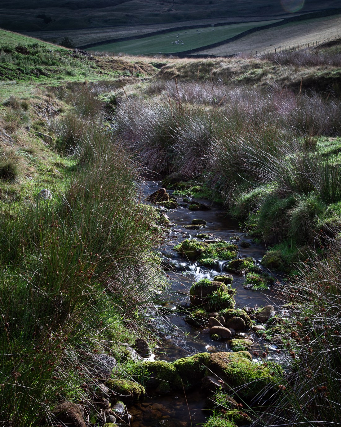
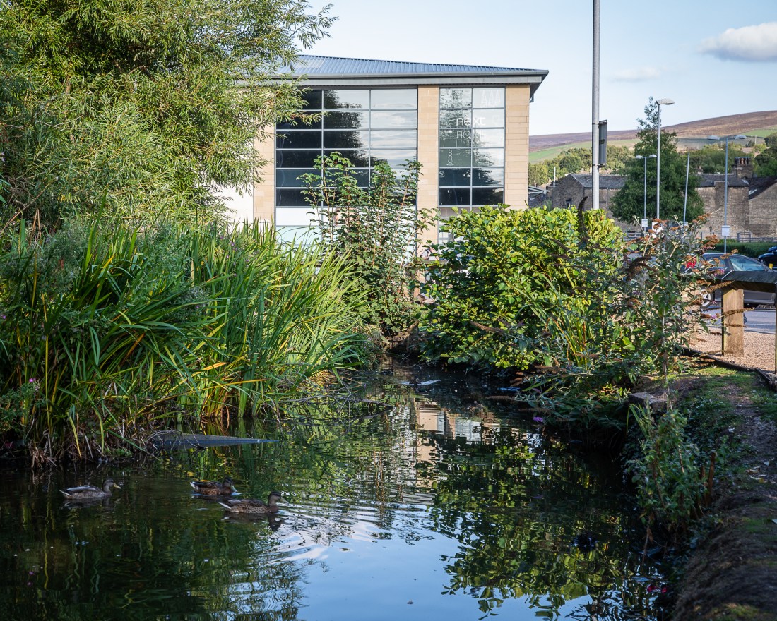
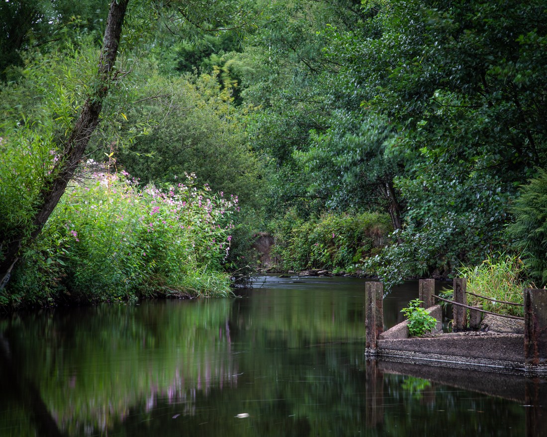
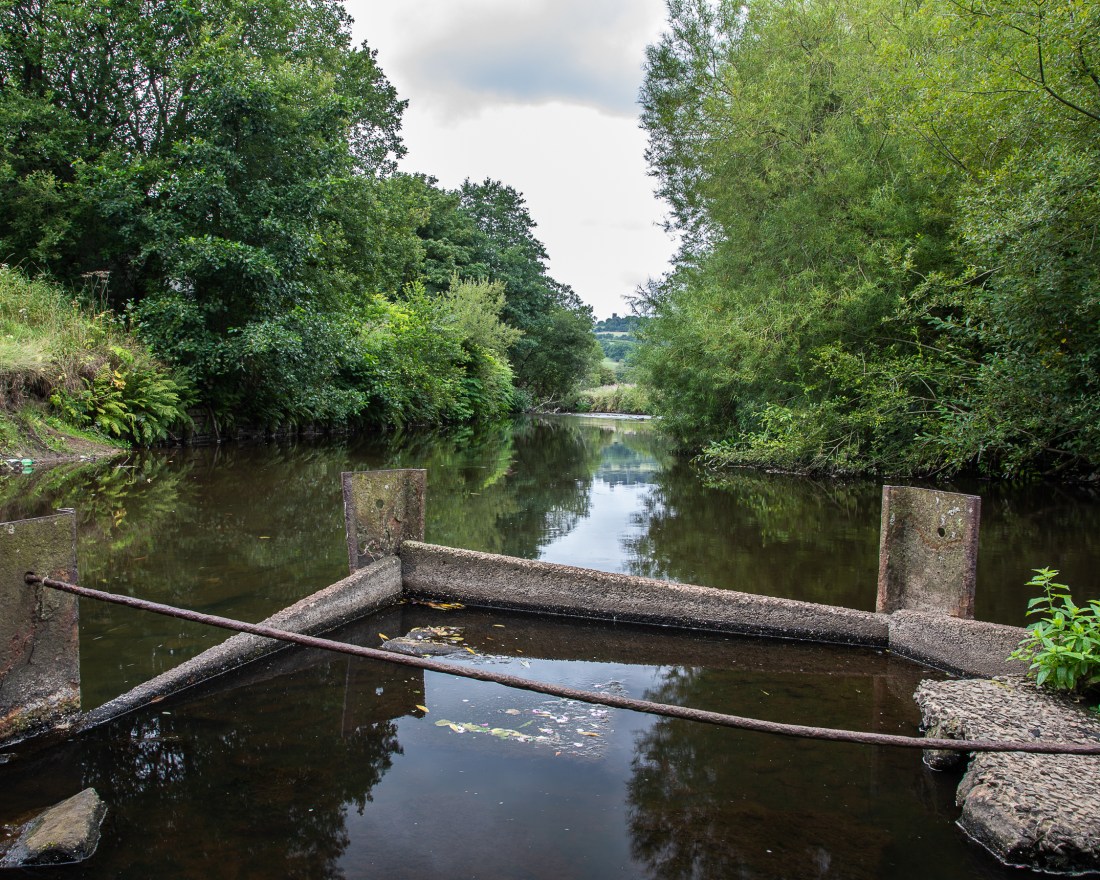
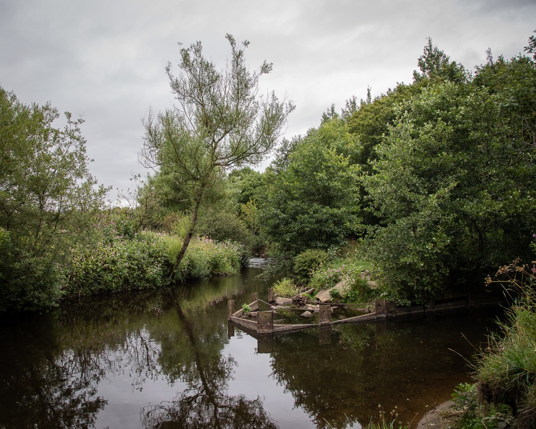
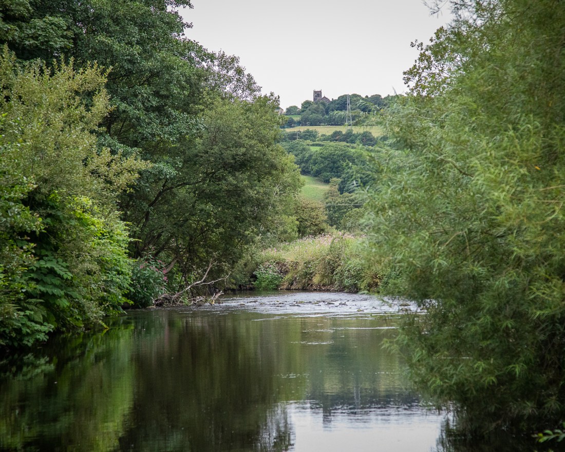
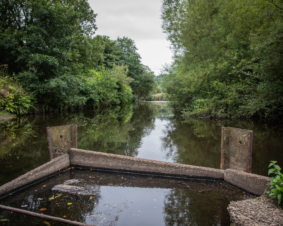
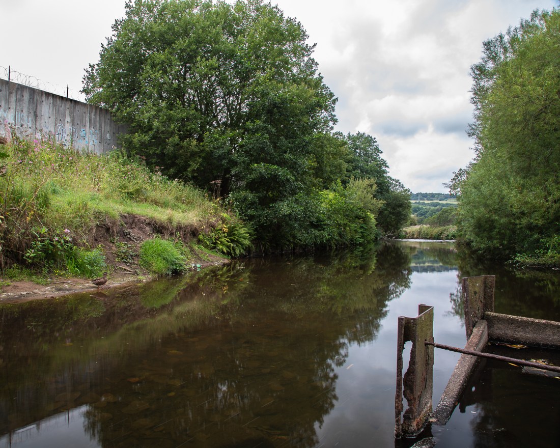
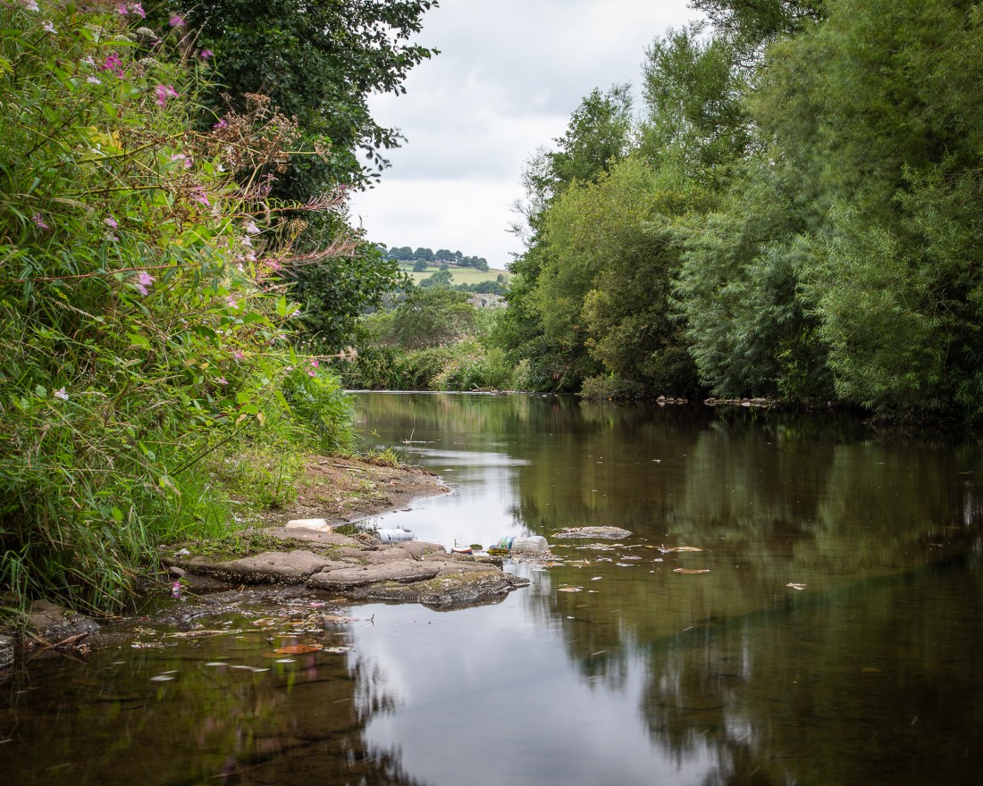
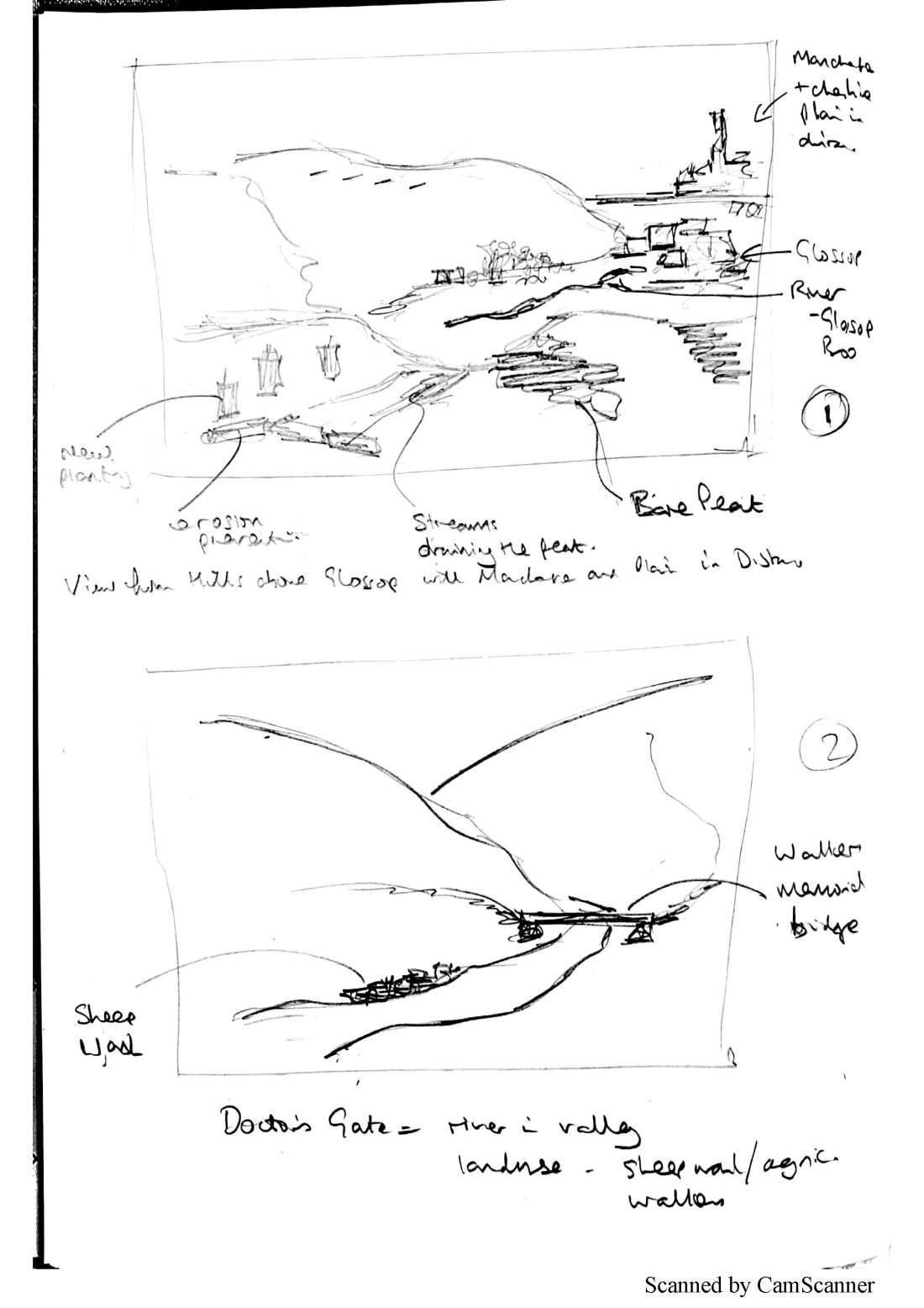
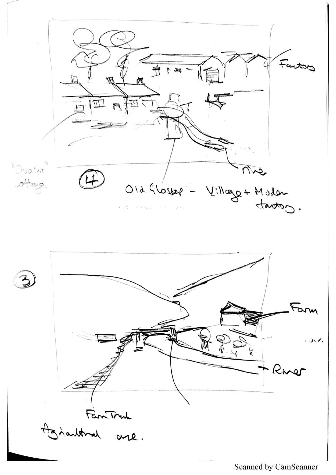
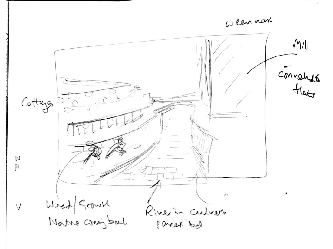
He commented particularly about the inclusion of map extracts to illustrating the location of some of the images he drew my attention to the concept of “GIS” Geographic Information Systems, and suggested I look into this more as it applies to my work. This is a concept being used extensively to describe social history and geographical concepts.

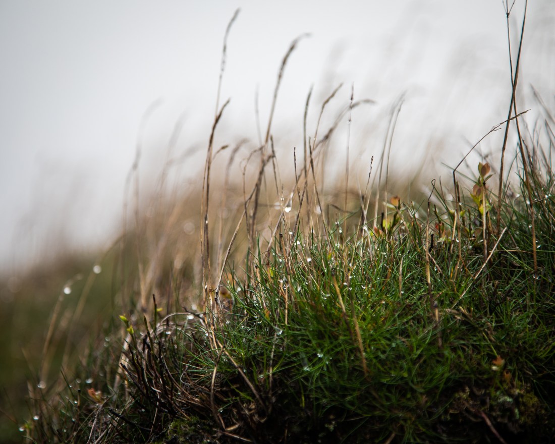
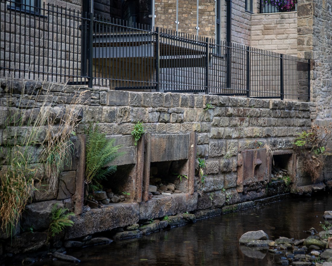
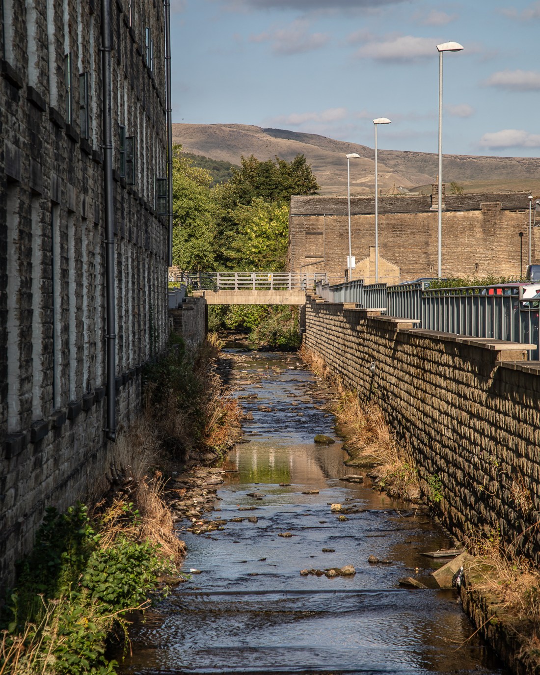
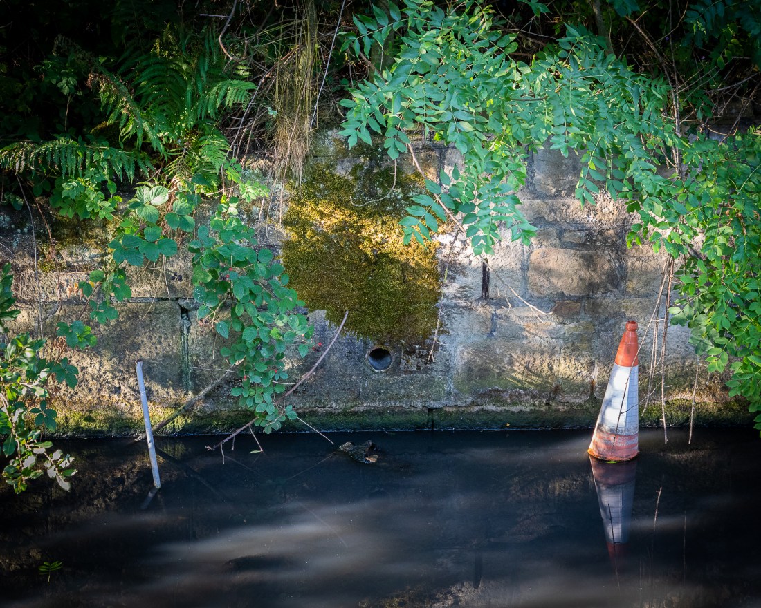
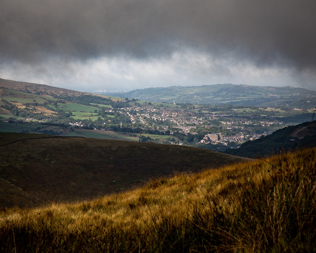
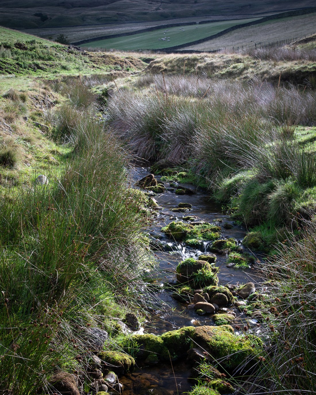
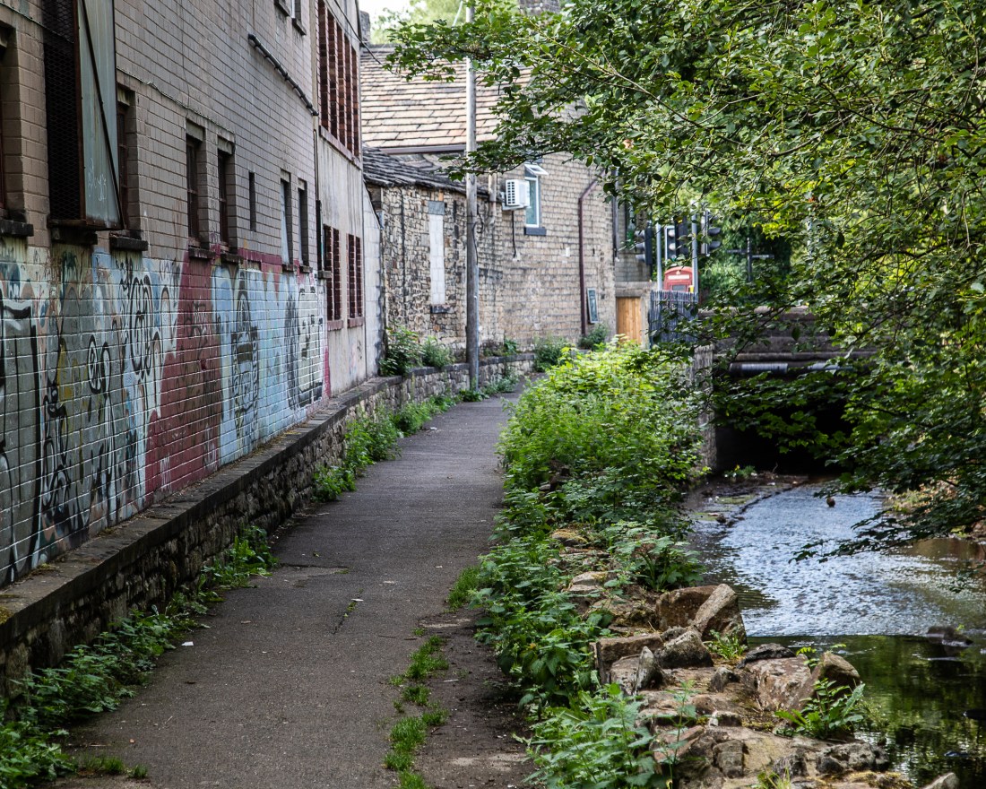
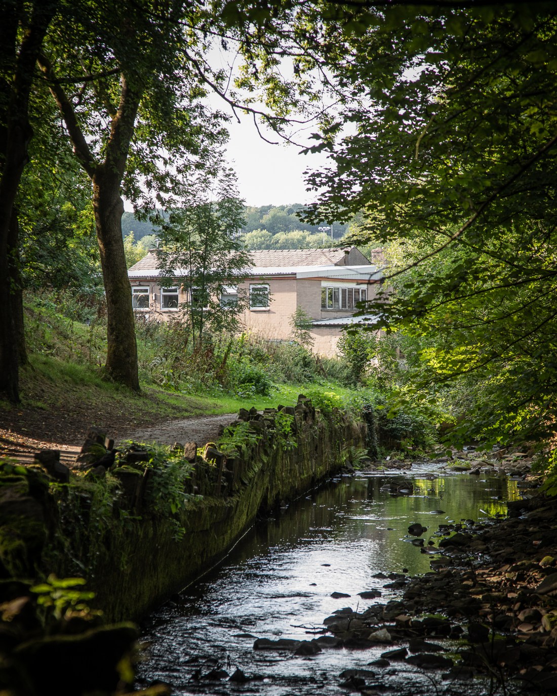
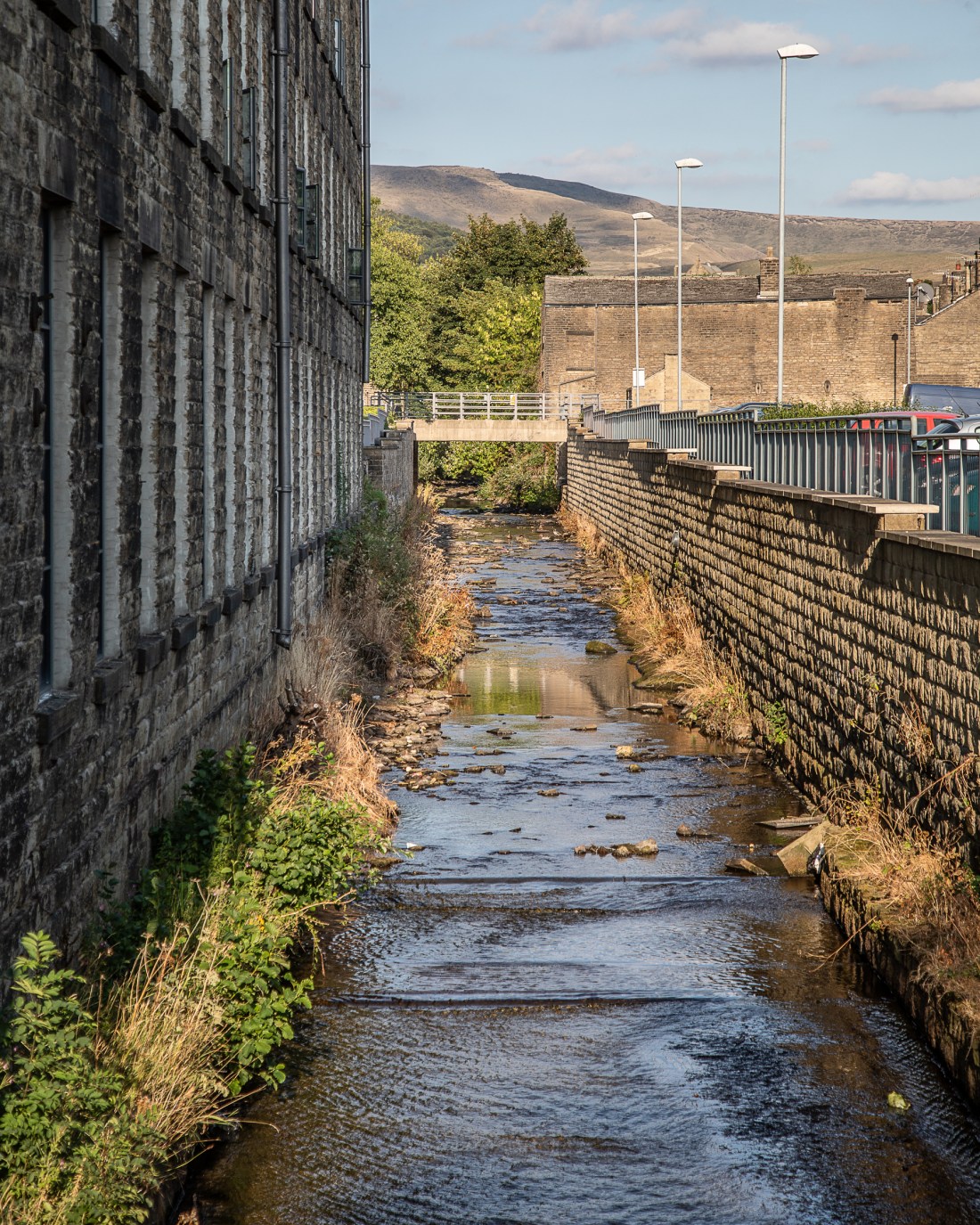
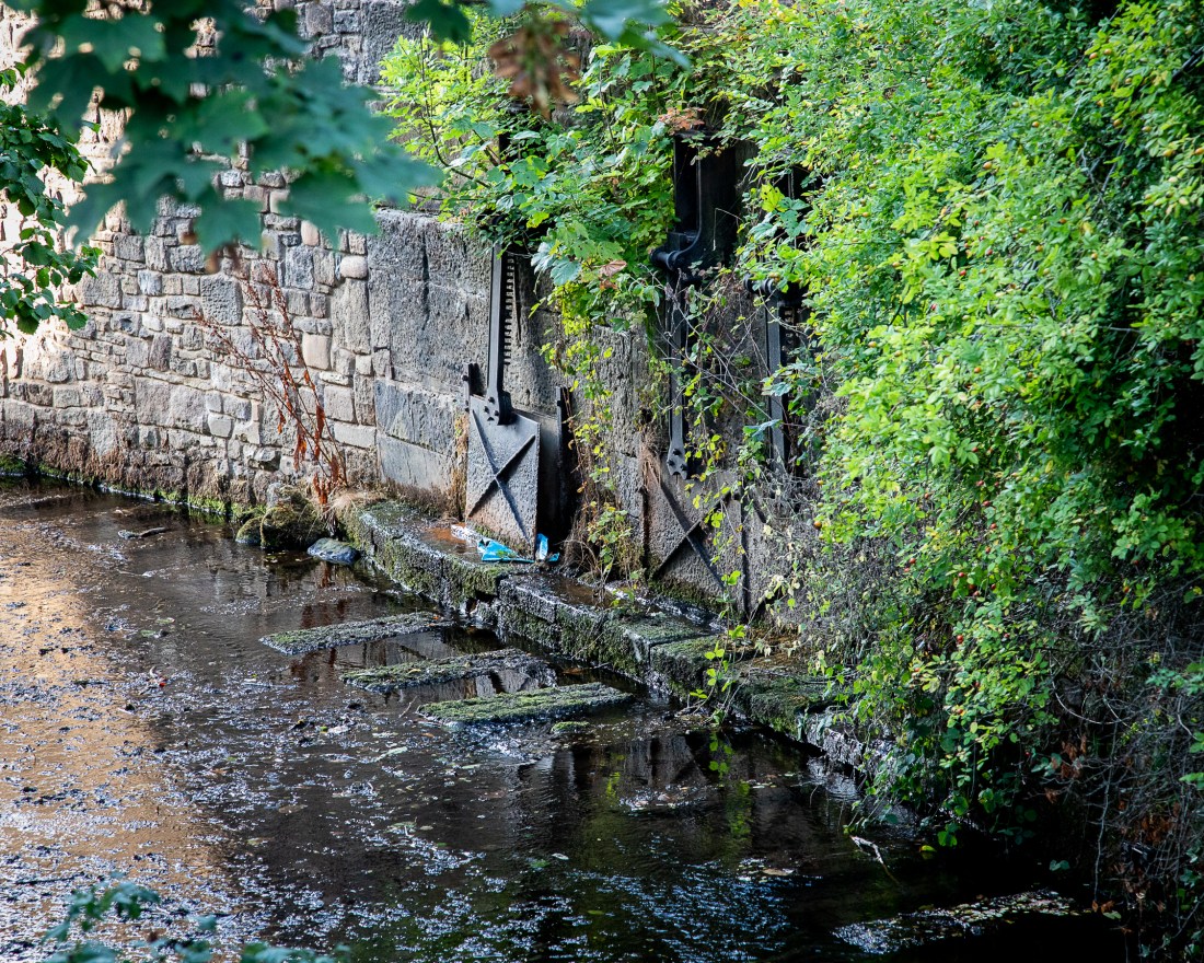
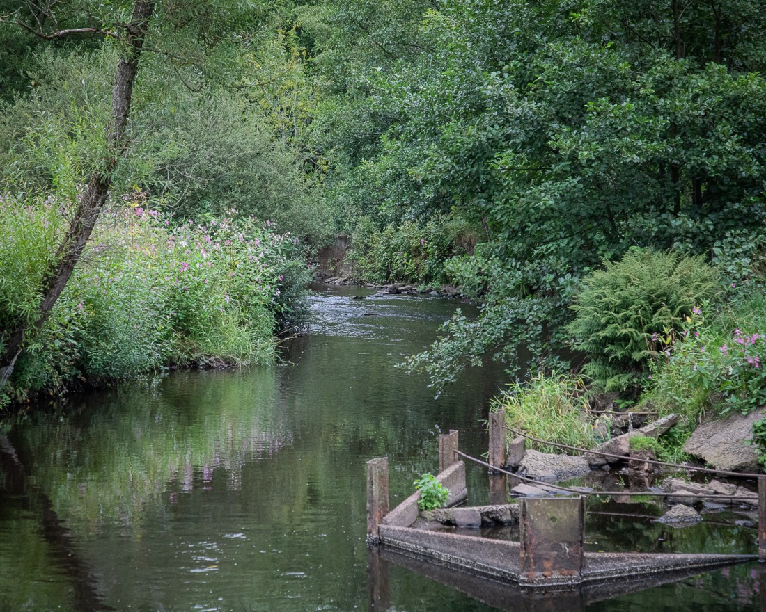
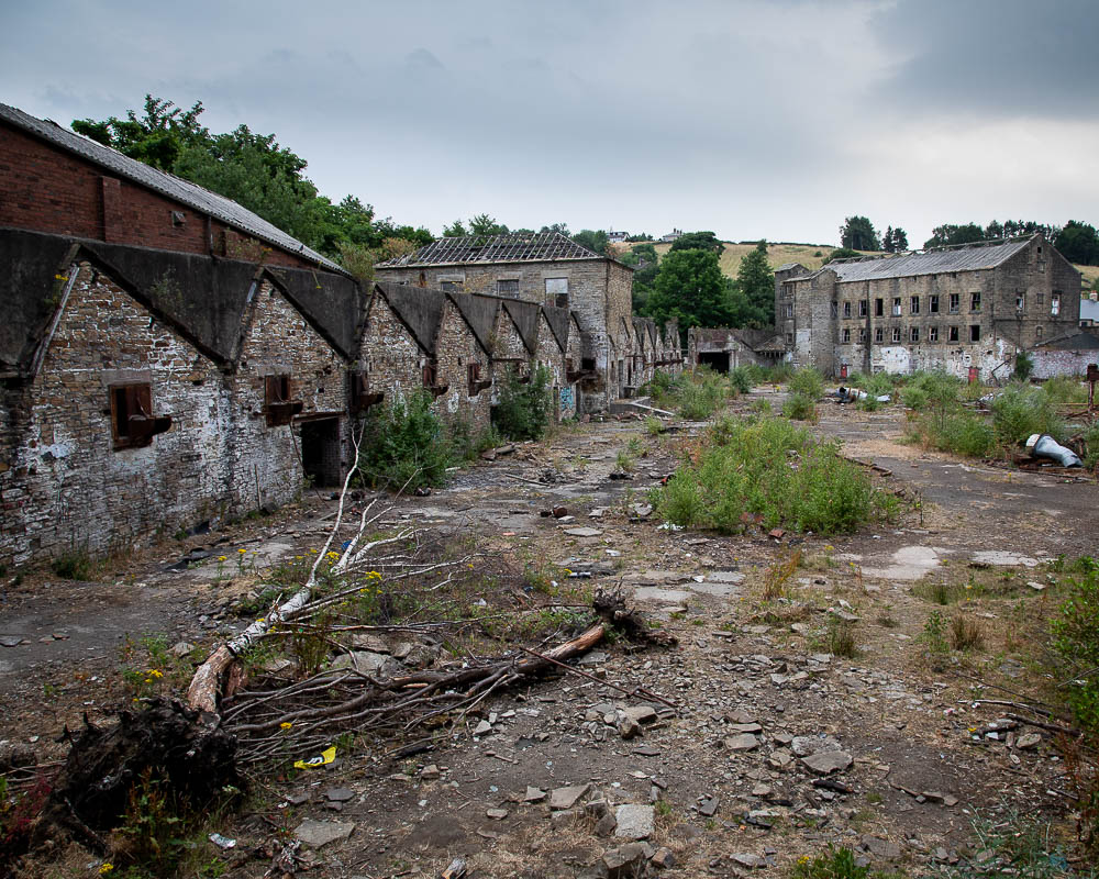
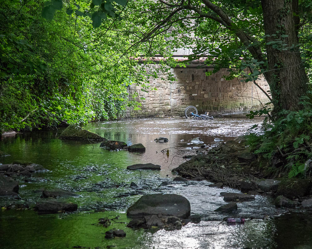
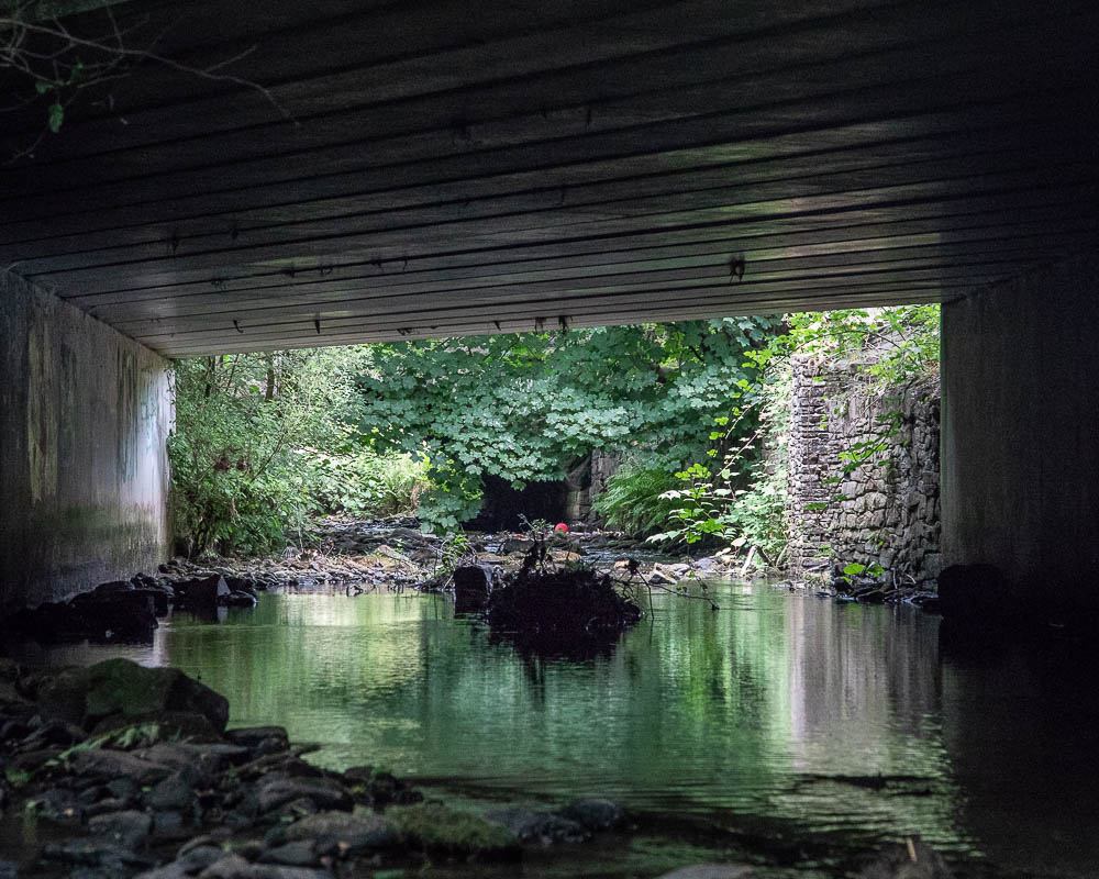
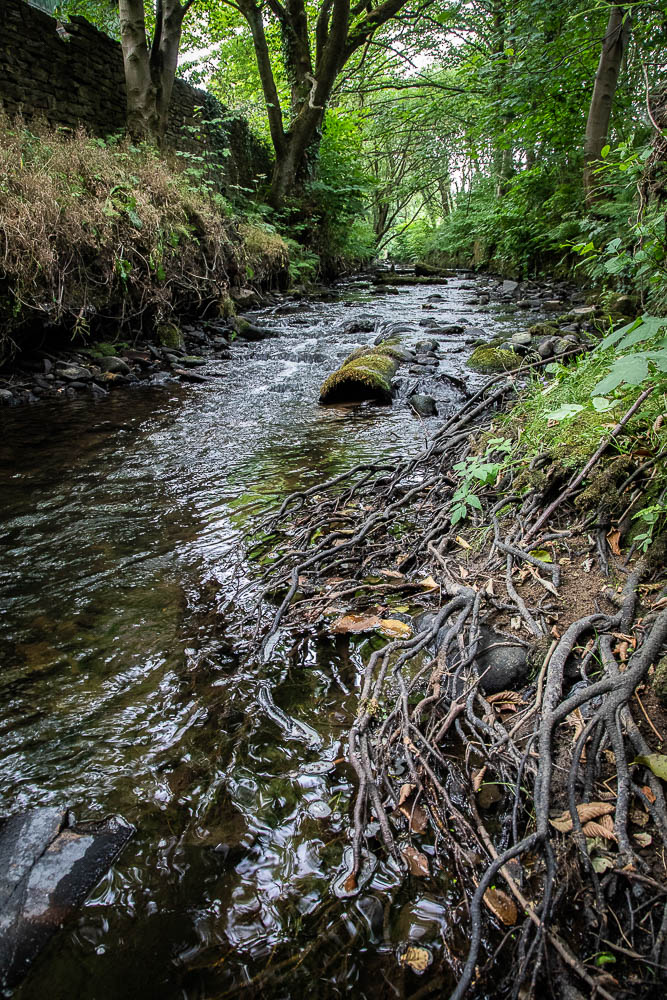
He considered that some of the images of the area around the confluence of the rivers has many of the visual aesthetics of classical English Landscape painters and suggested that I research more into this, not confining myself to photographers. In particular he mentioned John Virtue
Other artists he suggested I look at include
• Rebecca Solnit and her book “Wanderlust” with regards to walking as an activity
• The “New Topographics”, in particular Lewis Baltz
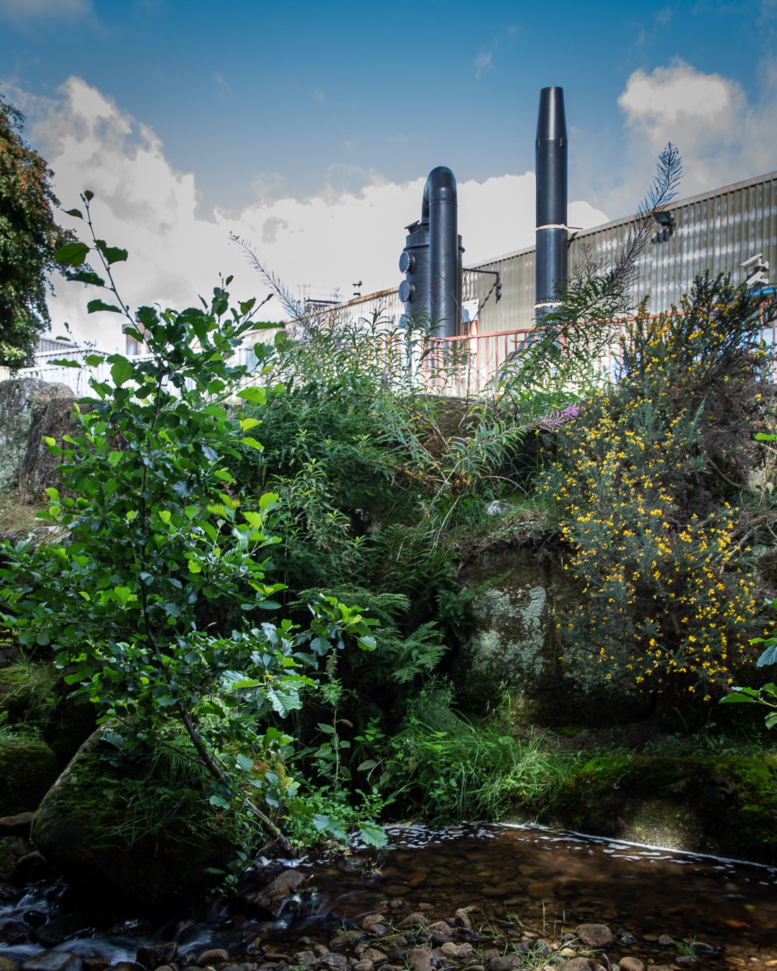
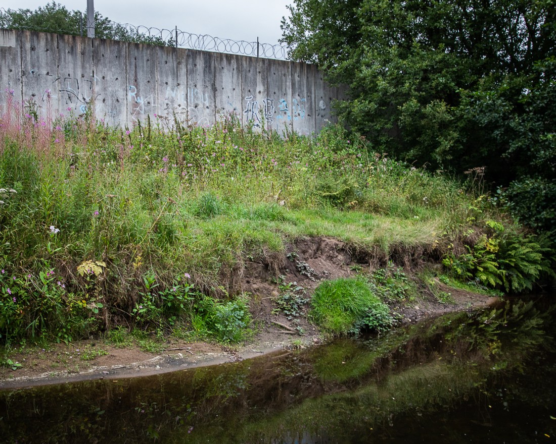
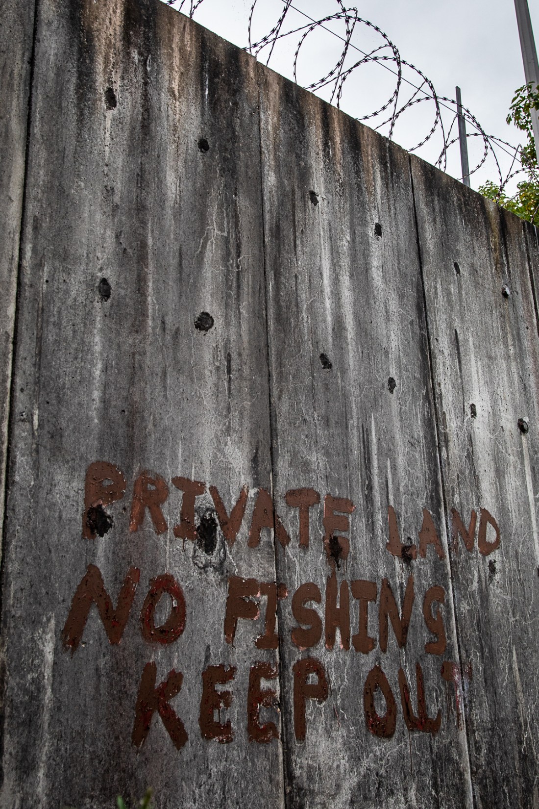
This is in relation to the tension between urbanisation and the rural environment.

The next assignment is collections – I described some initial thoughts I had about this.
As a sport diver, I am aware that the wrecks of iron and steel ships deteriorate underwater. Wrecks of wooden ships like the “Mary Rose” may be preserved for centuries in sediment which protects them from the effects of tides and weather. As a result the archaeological record of iron and steel ships is likely to be less complete than that of well preserved wooded wrecks.
Many amateur sports divers who dive these iron wrecks collect souvenirs and will have small collections of artefacts from the wrecks. In the future these may be the major remaining artefacts from many of out historic ship wrecks.
I suggested I collect images of such collections for my next assignment.
Andy suggested I look at the historic use of photography to record collections . Other artists he suggested I look at were
• Mark Dion and his work “Oceanmania”
• Michiko Kon

Further study topics
Geographic Information Systems
John Virtue – B&W Landscape painter
Rebecca Solnit “Wanderlust”
New Topographics
Lewis Baltz

Assignment 2 “Collections”
Use of photography to record collections
Mark Dion and his work “Oceanmania”
Michiko Kon

Final Submission

I had many images to chose from these are what I submitted.

2018-08-25 Shelf Stones-33
On Shelf Moor

This is water droplets forming on grass and moss on the moors above Glossop when covered by cloud. I chose it because it reflects the source of the waters of Glossop Brook and the humid atmosphere that attracted the cotton spinning industry to the area.

It is taken against the light to catch the light as it passes through the droplets. I would have liked better lighting of the droplets to emphasise them and make them stand out, but the sun never broke through while I was there, and I had no artificial light with me.

2018-08-25 Shelf Stones-6
Pennine Way near Shelf Moor

Paving slabs from the floors of old mills have been used to pave eroded parts of footpaths on the moors. This image shows those and reflects to me the cycle of regeneration as those parts of the old mills are now used to protect the moors that have been damaged in the past by their smoke.

It is taken on a very cloudy day and the light is quite flat, but this enhances the atmosphere of the moors.

2018-08-25 Shelf Stones-61
Yellowslacks Brook

As the rivers descend from the moors there is the evidence of hill farming. In the background the sheep. It is the sheep farming which has created the landscape we see today. That landscape apparently natural, is as artificial as the industrial landscape of the town.

2018-08-25 Shelf Stones-87
Factory, Old Glossop

Entering the town the river passes modern factories such as this. I tried to reflect here the contrast between the force of nature as reflected by the river and vegetation, and the modern industrial plant.

I struggled finding a location to get a composition of this to get the juxtaposition of the two elements. In this image I think that the foreground is cluttered and messy, and there may not be a position to get that from. It might be better to just include the modernistic appearing black factory elements.

2018-07-12 Milltown-325
Glossop Brook at Milltown

This is Glossop Brook in the centre of the town, passing through what was a huge development of mills. Here all that can be seen in an old pipe in the bed of the river and the walls on the left of the mill complex. This apparently rural river was in fact the centre of an industrial complex, again showing the power of regeneration.

2018-08-21 Glossop EYV-41
Glossop Brook and sluices for mill race

Further into the Mill complex the river is forced into artificial water course with paved bed. As it flows over that these patterns are formed, and I was attracted to the aesthetic element of this.

The patterning is perhaps small in relation to the size of the image and might be improved by better position and camera angle to enhance this.

2018-08-21 Glossop EYV-4
Glossop Brook near Calico Court and the base of old mills

I like to think this image encapsulates what I am trying to show in my project. At the bottom is the river. This is what caused the mills to be built here, and the remains of old buildings can be seen in the centre. On the remains of these have been built new apartments with contrasting clean straight lines.

2018-08-21 Glossop EYV-25
Glossop Brook at Wren Nest Mills

Similarly near this mill the river is forced into a man-made course, here the contrast between the old mill building and the modern carpark is enhanced by the quality of the light. The mill in the shadow is cool and blueish, whereas the right of the image is lit by the evening sun and is warmer. The background is important as it shows where this has all come from.


2018-08-21 Glossop EYV-34
Old mill ponds and modern retail park
2018-08-21 Glossop EYV-36
Wren Nest Mill Pond – behind Next

These images are a pair. The left shows a modern retail development with clean straight lines and the incorporation of the old mill pond into the landscaping around it. The right is taken behind the buildings where the mill pond is still there, but overgrown and including the archetypal image of urban decay, a discarded traffic cone.

2018-08-20 Glossop EYV-29
Etherow at the site of the Riverside Line

This shows the confluence of Glossop Brook with the River Etherow. Here the nature of the rivers has changed and they are bigger and slower flowing. Superficially this looks like a rural river with lush vegetation. However to the left of the image is the course of the Riverside Branch line which ran along the edge of the river here to other mills. Remains of the supports for a viaduct can be seen. The course of the railway is  bridle path and the landscape remains as heavily managed now for recreation, as it was for industry.


2018-08-20 Glossop EYV-3
River Etherow looking to Mottram Church

Looking down the River as it flows out onto the plain , it looks like a long standing rural landscape. However the traces of the old iron work, show that this remains a changing and evolving landscape.

My Learning so far!

I have a number of images now which I think enable me to fulfil my interpretation of the brief.
My biggest learning experience, has been to not leave it to the last minute. Unfortunately, since registering for the course, I have been away a lot with work and other commitments. I have also spent a lot of time on the course sorting out my organisation and work flow pattern to keep notes and be easily able to produce my final submissions.

I have referred to some other artists for sources of influence, but recognise that this is an area in which I need to do more work.
I have chosen several sites for my images and because of the way I have interpreted the brief they are very different. I think it would be better for my own development had I concentrated on one style for this exercise and had more opportunity to explore different ways of approaching one setting.  As a result of this I think my submission will be weak in the creativity and novelty of approach. I will adapt this in my future exercises.

The image “Glossop Brook near Calico Court and the base of old mills” is the one I believe best encapsulates the concept I was trying to show. At the base is the river, which was there before the town and the establishment of the town was dependent on it. Above this are the remains of the old mills, which brought about expansion of the town, all dependant on the river. As these have declined, they have been replaced by new buildings such as the Calico Court apartments in the upper part of the image.
The modern factory in Old Glossop, has interesting futuristic shapes, but I found it difficult to find an angle where I could juxtapose this with the river. I think that maybe it would be more effective without the river in the image, and it is enough for me to know it is there, rather than have to explicitly include it.
Overall I think the project shows different facet of the river at different points, and in that respect goes part way to illustrating the points I have tried to make. However, because they are all different locations I am not sure they fit as a coherent whole and the “backstory” needs to be explicitly stated to make sense.
I think that the images are pleasant, but not particularly striking and do not all make a strong visual impact. The Old Mill Ponds and Modern Retail Park is an example, but is in contrast to the image of the mill pond at the back of the retail park.

I would like to explore more view points and angles of the sites, to try and improve the compositions to become more visually striking. This would need more visits to each site, and going at different times to get different lighting effects. The lighting of Glossop Brook at Wren Nest Mill shows a warm light to the right of the image, associated with the modern carpark, and a cooler shadow of the old mill on the left. This use of light was accidental, but an area for more development.


The Source

To complete my images of the river as it passes through Glossop, I walked up on to the moors above the town and followed the course down to the hill farms and into Old Glossop.

I had hoped to get images as I envisaged in my story board, of Glossop sitting between the moors and the plain. However there was heavy cloud and I only found this lower down.

2018-08-25 Shelf Stones-43
Glossop from Shelf Moor


While waiting for the cloud to clear, I noticed the droplets of water on the grass and thought this encapsulated the source of the rivers, and the humidity of the atmosphere that allegedly attracted cotton spinners to the area.

2018-08-25 Shelf Stones-33
On Shelf Moor


I also noticed the paving of the footpaths. Many of these are reclaimed flagstones from old mills. These images illustrate how the fabric of the old mills is now being used to protect the peatland which was so damaged by the pollution from those same mills when they were in use. This underpins the cycle of regeneration and regrowth I am trying to show.


Down in the valley, the river passes through agricultural land. This is a sheep farming area and it is the effect of their grazing which has produced the landscape we now see: apparently natural, but in its own way as artificial as the industrial landscapes of the town.

2018-08-25 Shelf Stones-60

Yellowslacks Brook

In Old Glossop the brook returns to the industrial landscape. But here it is of new, working factories, not the derelict mills of the town centre.


Glossop Town Centre

Glossop Brook flows through the centre of the town and is a feature of many elements of the urban scenery. I took a series of images to try and depict how the river fits into this and adjacent to old buildings and new and “regenerated” buildings. I have also tried to emphasise how the river brings the more natural environment into the town as a base for the growth of plants – planned and unplanned.

2018-08-21 Glossop EYV-4

Glossop Brook near Calico Court and the base of old mills

In these images I tried to emphasise the juxtaposition of the new development and its clean straight lines with the base of the old mills underlying it with more irregular edges.


As the river flows through the riverside park, it can be seen that this is a resource used by residents for exercise and recreation.

2018-08-21 Glossop EYV-15
Glossop Brook near High Street West

2018-08-21 Glossop EYV-14

Near Wren Nest Mill, a mill now converted into appartments and a retail park, the river is forced into a narrow channel, but still forms a reserve for plant growth.

2018-08-21 Glossop EYV-22
Glossop Brook at Wren Nest Mills


2018-08-21 Glossop EYV-34
Old mill ponds and modern retail park

The retail park appropriates the old features of the Mills by landscaping the old mill pond and incorporating this into the car park. However behind the shops the signs of urban decay still remain.


2018-08-21 Glossop EYV-36
Wren Nest Mill Pond – behind Next

However, I think that the interaction of light and the pattern of the water flow on the paved river bed still creates aesthetically pleasing patterns. I tried to create a monochromatic image similar to those I saw in Phoebe Kielty’s work from her series “These were my Landscape” which I referred to in my account of my visit to Hit the North exhibition.

2018-08-21 Glossop EYV-41
Glossop Brook and sluices for mill race


2018-08-21 Glossop EYV-43
Glossop Brook and sluices for mill race


Old Glossop

I went to look for images around Old Glossop in line with my proposed story board.

Unfortunately I again got distracted by the old industrial relics on the site of the Hawkshead Mill, which I think are interesting images in their own right and serve to put the changes I am trying to depict in to context.

This section is still a work in progress for the final images!


Convergence of the rivers – Waterside Branch Line

The 1911 map shows the Waterside Branch running along the side of the Etherow having crossed a viaduct. Today this looks far from industrial and has been developed as a bridle-way.

Waterside
OS Six Inch Series – 1911 ‘Reproduced with the permission of the National Library of Scotland’

I wanted images of the river flowing into the lowland rural farmland, and also to illustrate how the regenerative process has hidden this aspect of its industrial past.

My first visit was just to explore the area and look for locations. 2018-08-18 Glossop EYV-1

2018-08-18 Glossop EYV-7

These images show the area without a hint of the railway which ran on the right hand bank of the far river or the viaduct crossing the near one. The only hint is the iron work remaining in the river.

Nearby today however is the council tip and this is as intrusive into a rural scene as the old railway, and shows how the access to the river is still controlled.

2018-08-18 Glossop EYV-16

2018-08-18 Glossop EYV-4

I was looking for a view of the river leaving the post-industrial area to the rural and wanted something like this.

2018-08-18 Glossop EYV-14

Although this does not show any suggestion of change of use, so more like this is preferable to me.

2018-08-18 Glossop EYV-12

I have revisited with tripod and polarising filter to retake these to add what I think is a better quality of depiction of the water.

2018-08-20 Glossop EYV-3

Other images from the revisit also show that.


2018-08-20 Glossop EYV-82018-08-20 Glossop EYV-242018-08-20 Glossop EYV-122018-08-20 Glossop EYV-29


I will aim to use some of these in my final submission.


Square Mile – Story Board

I worked this out before my earlier posts, but have only just got round to scanning the pages of my sketches!

Having decided to look at the rivers in Glossop and use the images of these as my vehicle for the assignment, I started to plan the locations I needed to communicate my objectives.
I approached this as a storyboard, describing the path the rivers take from the hills, through the town and out onto the plain and to the conurbation of Manchester in the distance. The sketches are from memory and serve me as an aide-memoire for the aspects of the landscape I want to illustrate.
The moorland above Glossop would provide images of the sources of the water, but also the effects on the peat of the industrialisation. Completing a cycle, it would also enable showing Man’s influence and attempts to restore this with new planting and attempts to stop peat erosion. Lower down in Doctor’s gate a bridge is a memorial to a rambler and illustrates the use of the land for recreation.

Square Mile Story Board_Page_1
Moorland sketches of my proposed storyboard

Associated with that is also the agricultural influences such as altered river course for sheep washes.

Further down the valley are more obvious agricultural influences on the landscape, and as the river approaches Old Glossop, a pre-industrial village, it flows close to workers cottages. However this scene also incorporates modern factories in use today.

Square Mile Story Board_Page_2
Rural and village scenes – Old Glossop and its old agriculture and new factories

Through the town the rivers are highly controlled and have been extensively used for industry, diverted into mill ponds and other structures. This old industrial heritage can still be seen, but as it decays nature regenerates to create new vegetation.

Square Mile Story Board_Page_3

Finally, after only 6km, Glossop Brook leaves Glossop and joins the Etherow to flow onto the Cheshire plain and into agricultural land, before entering the industrial conurbation of Manchester. Here at the confluence of the rivers was an industrial branch line, the Waterside Branch, running across a viaduct and along the side of the river to the Waterside Mills. Few traces of this remain, such is the regenerative power of nature.

Square Mile Story Board_Page_4

I have now a few sites I plan to visit and develop these themes.


Howard Town Mills, Glossop


I went to look around Glossop to look for some sites to photograph and develop some ideas of how my images might look for this assignment.

As I was unsure about access, I did not take a tripod and other kit but planned to re-visit if this seemed suitable for some of the images I was looking for.

I chose a stretch of Glossop Brook, in the centre of the town where it runs through the site of the old Howard Town Mills. This was a large area of cotton mills, now disused and being re-developed as retail area, hotels, and bars. The extent of these can be seen in the OS Map of 1924:

Howard Town 1924 6inch
OS 6 inch map 1924; Reproduced with the permission of the National Library of Scotland

I found that I could get into the site of the derelict mills at the East end of the site and found these images of drosscapes.  These were not what I was looking for, but I think are interesting images in their own right.

More in keeping with my project are these:

2018-07-12 Milltown-322
Glossop Brook – near Milltown
2018-07-12 Milltown-341
Glossop Brook: Shirebrook Drive Bridge
2018-07-12 Milltown-327
Glossop Brook near Howard Town Mills, East End
2018-07-12 Milltown-325
Glossop Brook near Howard Town Mills, East End

I am pleased with these images. I think they show an apparently rural scene, however on looking carefully the remnants of the industrial past can be seen – mill walls and pipelines in the river bed. I think they show the power of nature to reclaim our derelict industrial sites.

My plan is to revisit this site with a tripod and polarising filter as I think a higher image quality can be achieved.  I would like to use a long exposure to alter the quality of the depiction of the water, and the polarising filter will show detail on the pipeline better.


Square Mile: Communicating about me

The brief says that the assignment must “communicate something about you: your interests, motivations and ambitions for your photography”.

To help me determine what I wanted to communicate about myself, I reflected on this and again used the “mind-mapping” technique (diagram not shown) to identify what I saw as key aspects of my personality that I wanted to communicate.

In summary, my interests include hillwalking and scuba diving (the latter is hard to incorporate directly into this). These are linked by an interest in nature and the natural environment. My other large area of interest is my family and friends. Through my professional work I have an interest in people generally and their interests and background.

I think the theme linking this is an interest in heritage, why and how we come to be where we are, and in terms of our environment, what has created what we see – the forces of nature and of people.

In terms of photography, I started originally to use it to document what I have done and where I have been, however I recognise that I aspire to more and want it to mean something to me (and hopefully others). One of my personality traits I am aware of is perfectionism and I enjoy the technical aspects of photography, but am never satisfied with the outcome so want to better understand the essential aspects of an image to make it good.


My aim with the assignment is to try and show

  • why and how we come to be where we are
  • what has created what we see
  • and show the forces of nature and of people on our environment


Next Steps:

In this and my last blog post I believe I have set out how I intend to approach the assignment and what I want it to show. I now need to plan the images that will do this. To this end I will:

  • Plan locations and possible images based on my knowledge of the area
  • Research the work of other photographers and artists whose work addresses this