Exhibition Visit: I went alone to this as I was unable to attend an OCA Study Visit and the curator-led visit I had planned to attend was cancelled. This was unfortunate and meant that I might not have gained as much from the visit as I had hoped.
The Exhibition “celebrates northern photography across five decades”. Included are images of studio and informal portraits, rural landscapes and urban/industrial scenes.
My objectives from the visit:
• To gain an insight into more contemporary photography
• To see the work of photographers who create images in similar geographical areas to myself
• To gain some ideas for use in my “Square Mile” project
• To visit an exhibition and try to understand the range of work shown and the rationale for inclusion
• To try and study the work more systematically to develop my own assessment/appraisal skills
The Works
Daniel Meadows
The images included were made around 1972 and are of residents of Moss Side where Daniel Meadows was living at the time. He took free portraits of local residents and it is some of these which are shown.
They are black and white images in portrait formal. The subjects are against a simple dark background, the folds of the material can be seen. All are looking directly at the camera and seem to have a very “stiff” pose. This suggests to me that they are not used to having their photograph taken.
I was struck by an image of Teenager with Pram. At first sight this might appear to be a stereotypical image depicting teenage pregnancy/single mothers etc, however on closer examination it is clear that the pram contains a television and seems to be a way of transporting it!
I found these interesting images of people capturing a time and style. For me it was evocative of a period when I started taking photographs and used the same techniques.
Chris Harrison
The images shown were from his series “Under the Hood” and are studio portraits of Salford young men and boys made in 1994. They are colour images in a square format. The subjects pose against deep red drapes in what appear to me to be classical poses. These are offset by contemporary objects, such as their beer cans.
I noted that in many of the images one side of the subject’s face is in deep shadow, whereas in one the subject looks directly at the camera and is more evenly lit. In the subject’s pupil, I can see in the latter two light sources (flash and reflector ?) and only one in all the others. I am unclear as to what the photographer was trying to achieve here – I wonder if it is to show that although they have lost their hoodies, the subjects still do not show all their faces…
Tessa Bunney
The exhibition notes describe Tessa Bunney as a photographer of rural life, capturing the way landscape is shaped by humans. The images displayed are of domestic flowers of the British countryside. They are in colour in a square format. The colours are muted pastels and to me, seem reminiscent of paintings. One work is a montage of many such images, reminding me of some of the works of Andy Worhol.
What I learned from this, is that although the artist has shown images of the flowers, the story behind the images is of the domestic flower growers and changes in flower farming from small domestic production to more industrial scale, and now back to smaller farms again.
Lisa Dracup
The exhibition notes quote critic Michael Prodger as describing Lisa Dracup’s work as “not about capturing a particular moment in time but about timelessness. Her focus is less on something fleeting… and more on the long afterlife of places, plants and animals.”
The images shown are of taxidermied animals and birds. They are in a portrait format with a black background. I note that there are large areas in each image of this black background, and each subject in shown with great detail visible.
I was keen to see Lisa Dracup’s work as my thoughts about my work are that I want to depict more than the here and now, perhaps the “pre-life” rather than the “afterlife”. It is interesting to me to see how this timelessness is shown by the use of taxidermy.
Paul Floyd Blake
The images shown are from his series, “Give us a Sign” and are images of churches with signs outside, all with a humorous aspect. They are colour images in a square format. The colour enhances the visual impact of the sign, making it stand out from an otherwise, quite grey urban/suburban background.
I saw in these images how a single point of interest and the use of humour, can elevate an otherwise bland scene.
Matthew Murray
The images shown are from the series Saddleworth: Responding to a Landscape. They are large images, described as “metallic”. Many have traditional landscape compositions of woodland and moorland but they are striking because of the lighting.
I found it difficult to see how he achieved the lighting effects but have since found his description of this. “I photographed throughout day and many times throughout the night. When shooting at night I would light the landscape with artificial lighting, external lights, torches, car headlights, I wanted to interact and manipulate the landscape”. (Murray, M (2017) Matthew Murray’s atmospheric landscape images inspired by walks on Saddleworth Moor. British Journal of Photography 8765: 20-21)
Overall I found this a striking way to show the landscape of the moorland and woodland around me.
Phoebe Kielty
These are black and white images from her series “These were my Landscape”. They are of details from an urban landscape which produce almost abstract black and white patterns. While the object in the image can be seen and identifies, I found I looked at the pattern not the image.
I liked the way the detail in a landscape has been identified and the pattern created used to create an abstract appearing image.
Ian Macdonald
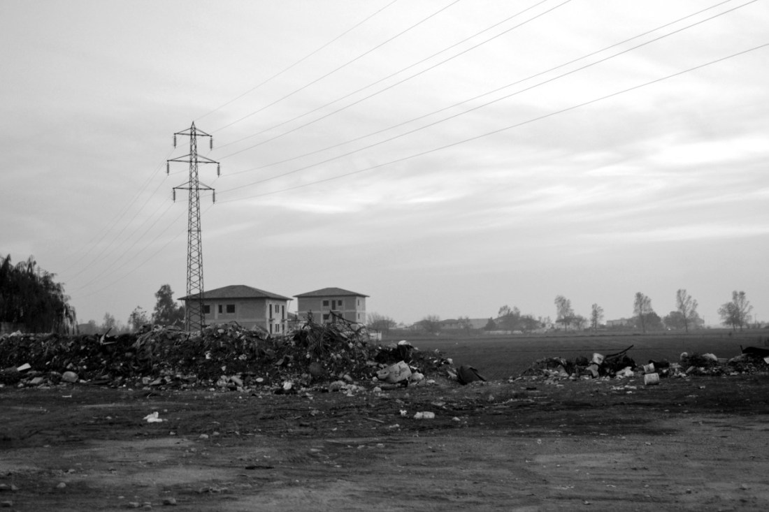
These are images of Cleveland taken over a several year period from the 1970s to the 1990s. They are black and white images of the industrial landscape and people of Cleveland.
I noted that the images of industry in the 1970s were highly lit and contrasty. The sites looked clean. I formed the impression that these images aimed to capture the spirit of the “white heat of the technological revolution” speech by Harold Wilson in 1963, rather than our current disillusion with industrialisation as adverse effects on society and the environment become recognised.
I noticed what might be a recognition of this in the images of traditional fishing boats and a rural landscape of the estuary, while in the distance industrial plants can be seen with chimneys and emissions which probably would not be acceptable today.
The image, Picnic at Fourth Buoy Sands, shows local people picnicking in such a setting. It reminded me of Cartier-Bresson’s image of Juvisy, France 1932 of working people having a working lunch in an apparently rural setting, but close to their urban work.
My overall thoughts and implications for my work
I set out my objectives for the visit above
• To gain an insight into more contemporary photography
My notes above summarise the insights I have gained. I think this is a start, but find it raises more questions for me than answers. I now have other sources to look at and other work from these artists
• To see the work of photographers who create images in similar geographical areas to myself
I have seen this and commented above, however have observed that time is as important as geography even over a period of 50 years. “The past is a foreign country: they do things differently there” (L P Hartley) has particular resonance for me in the light of these images.
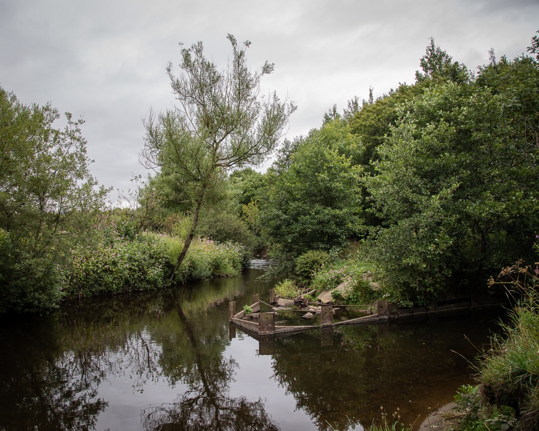
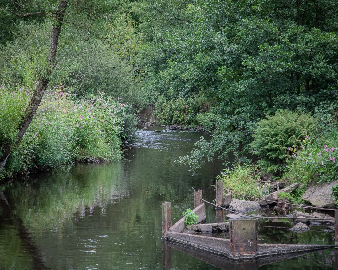
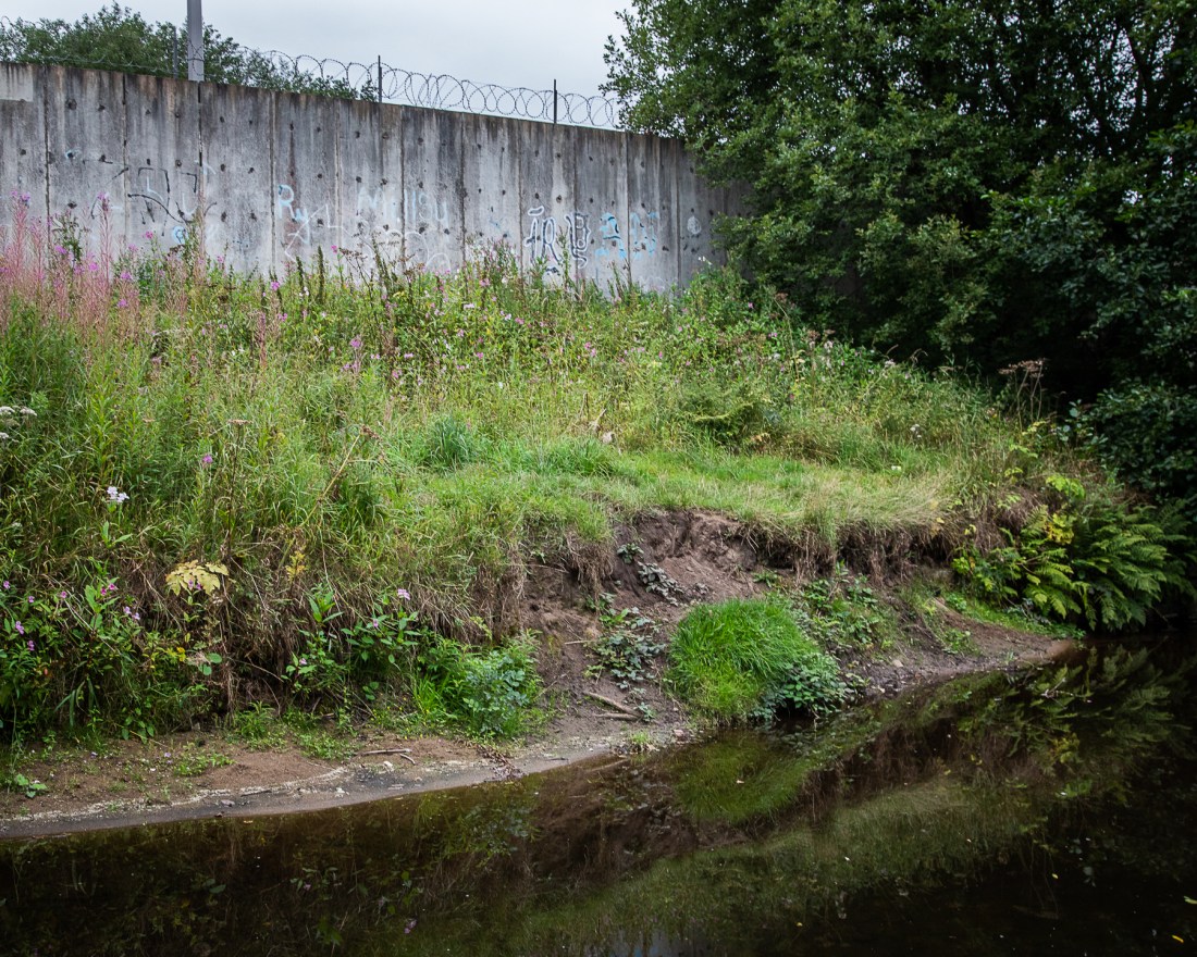
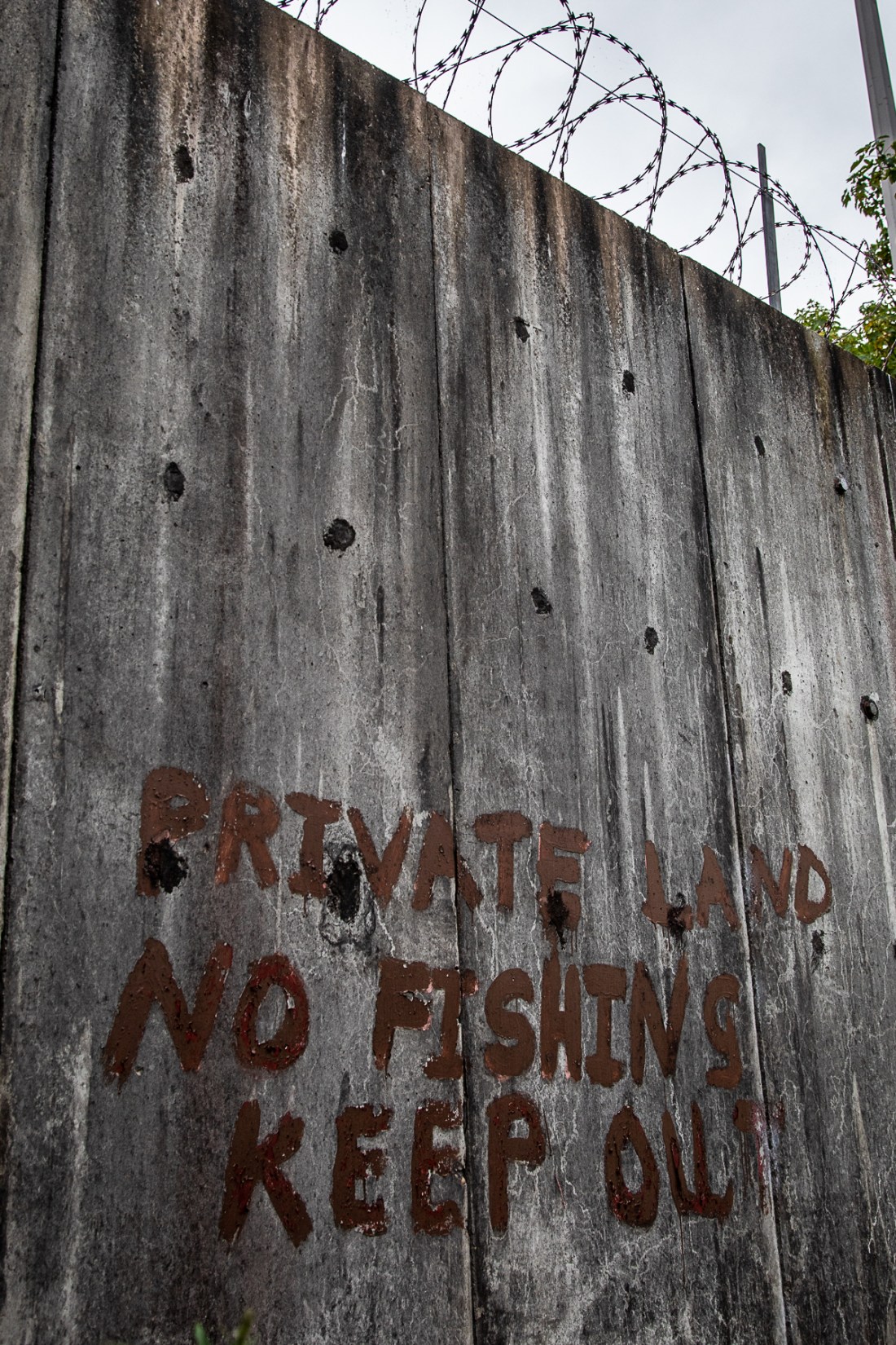
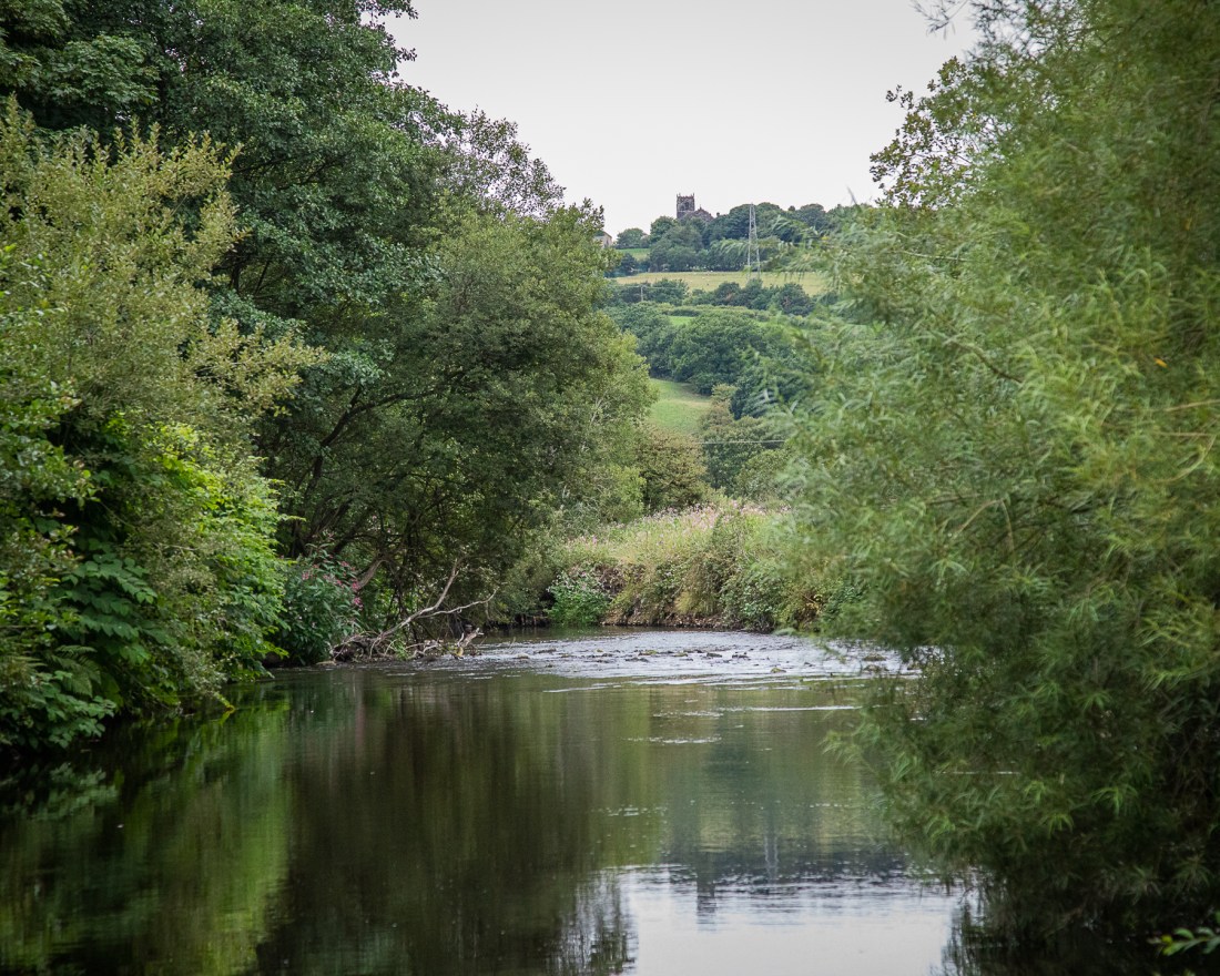
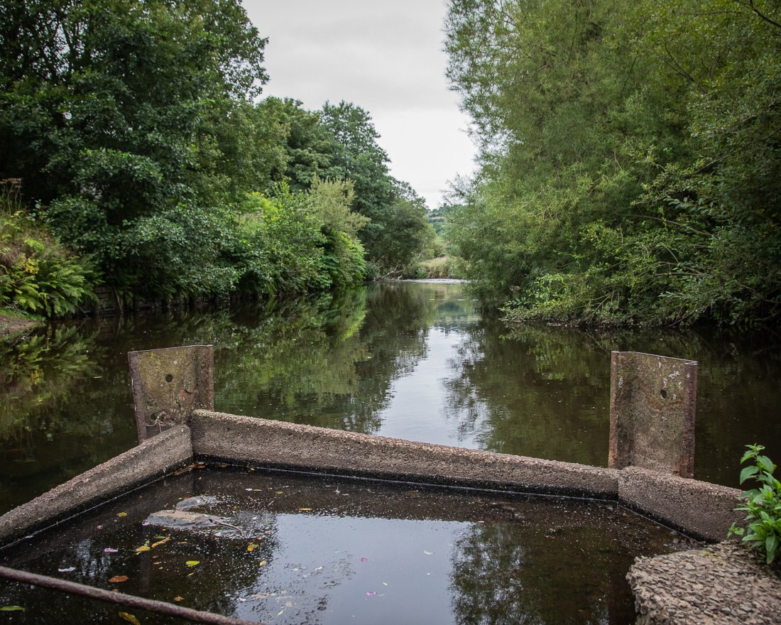
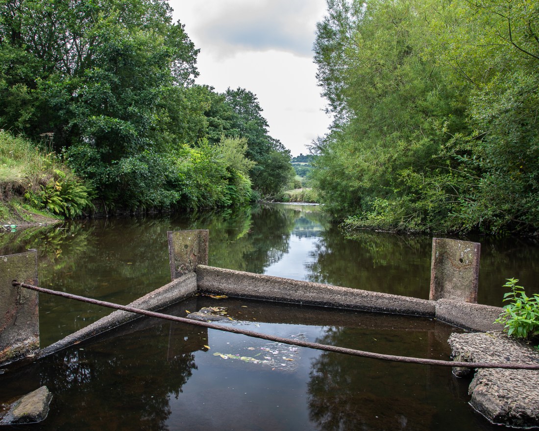
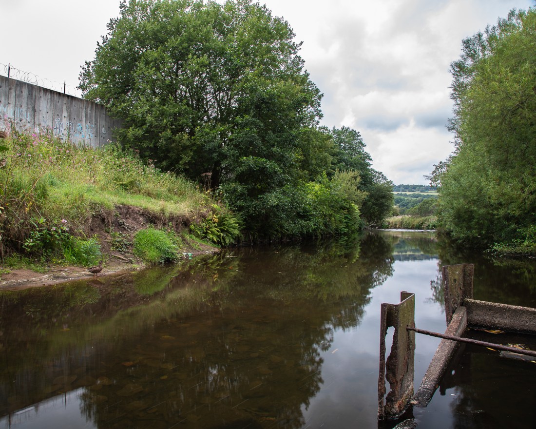
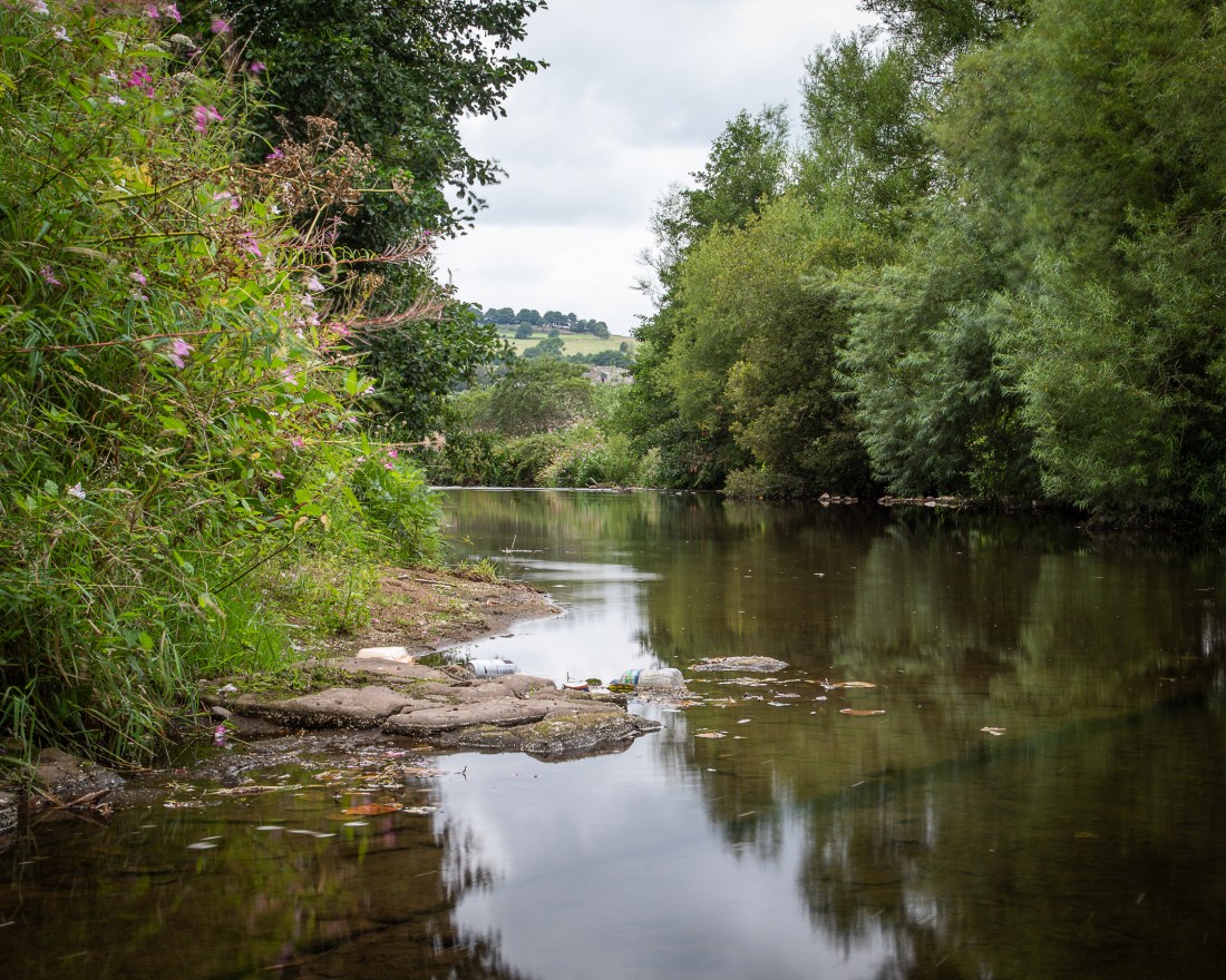
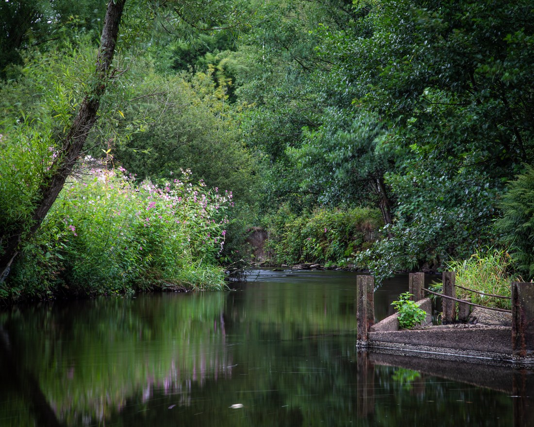
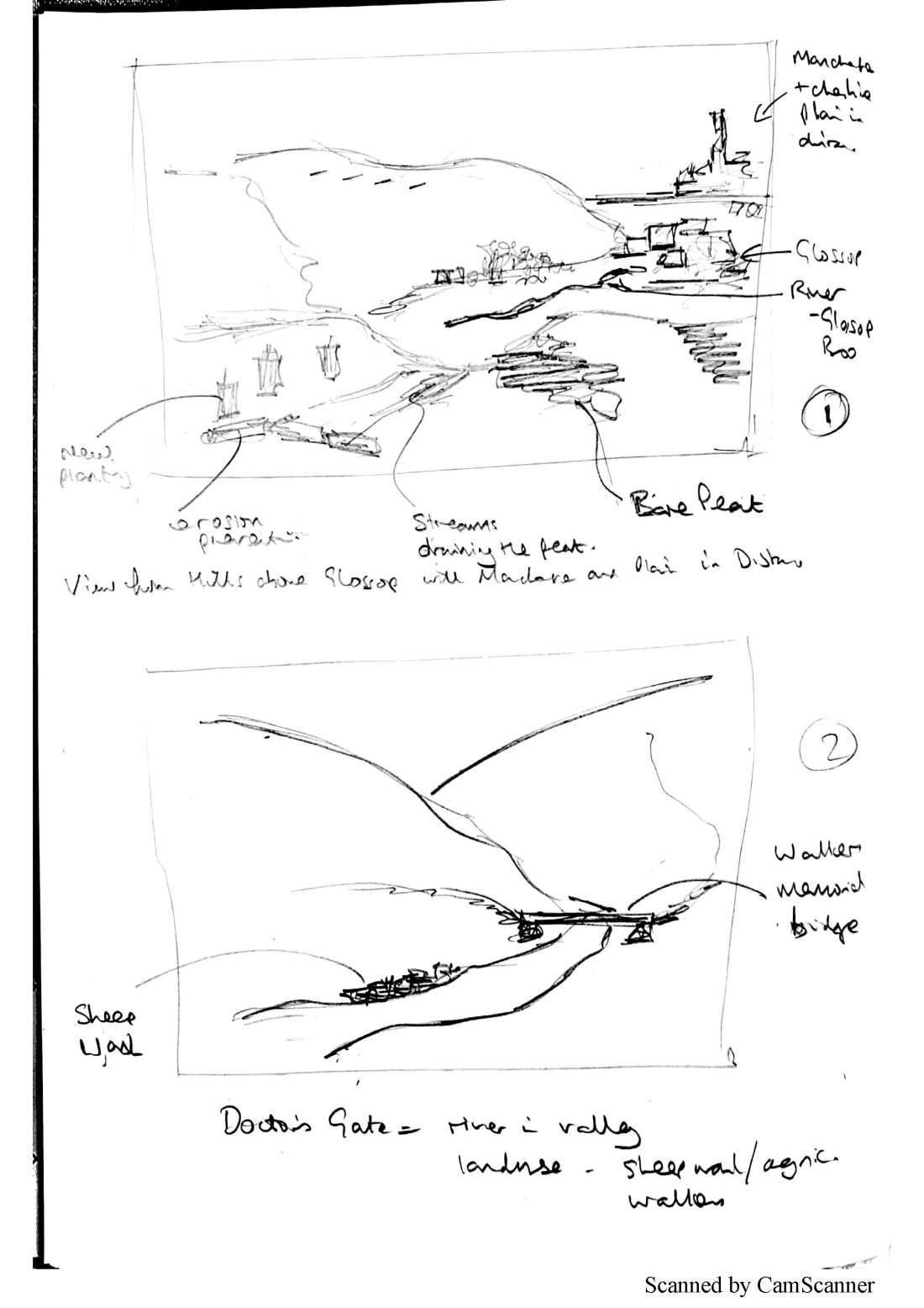
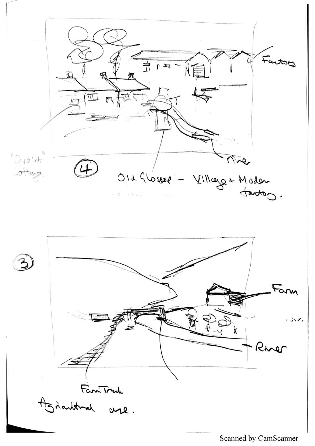
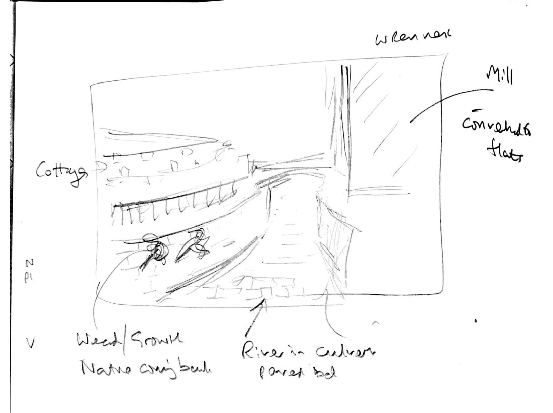
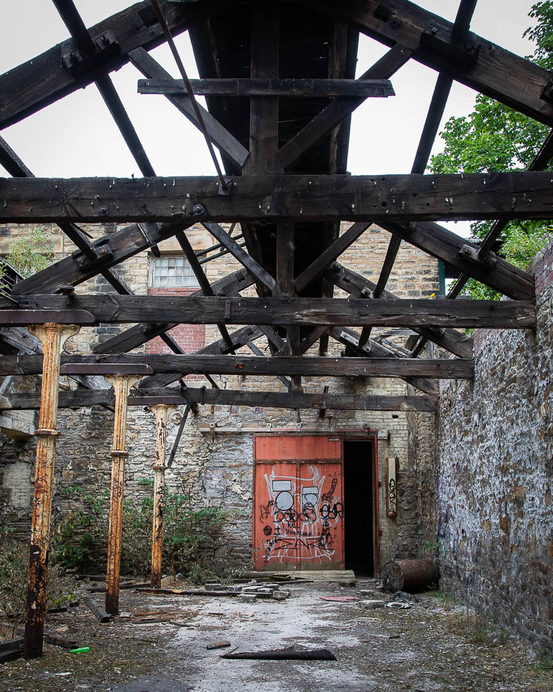
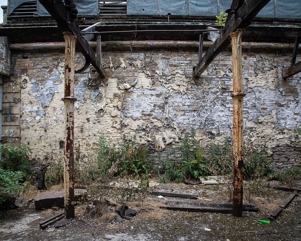
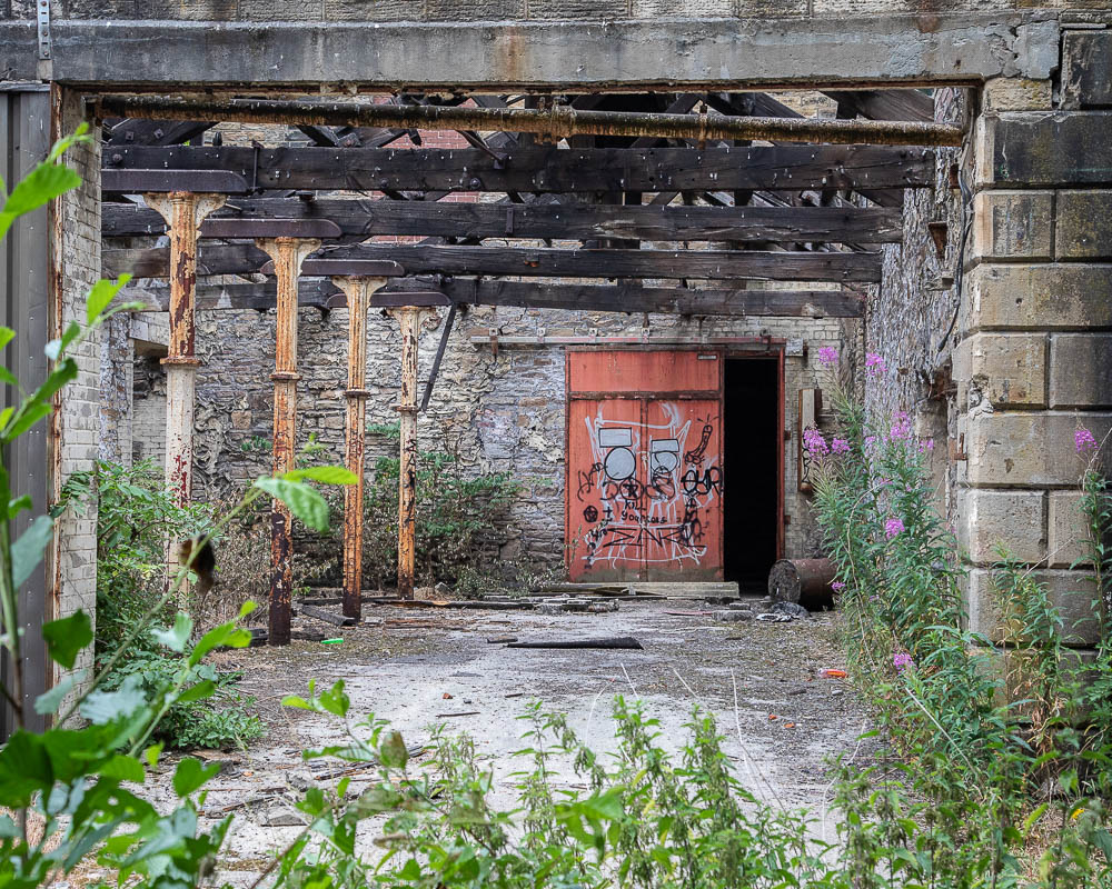
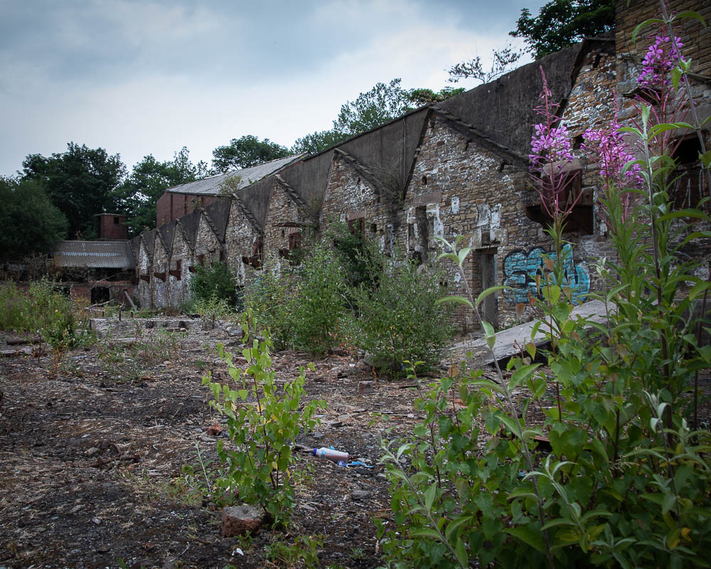
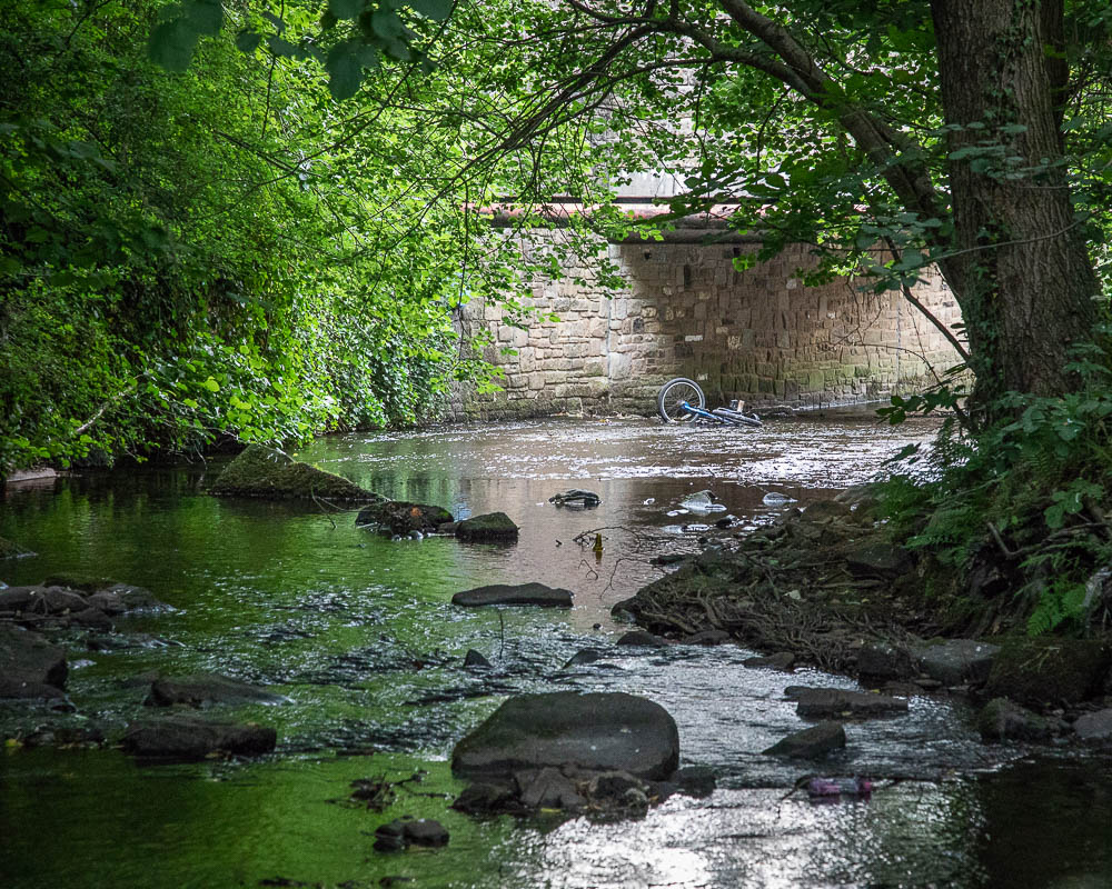
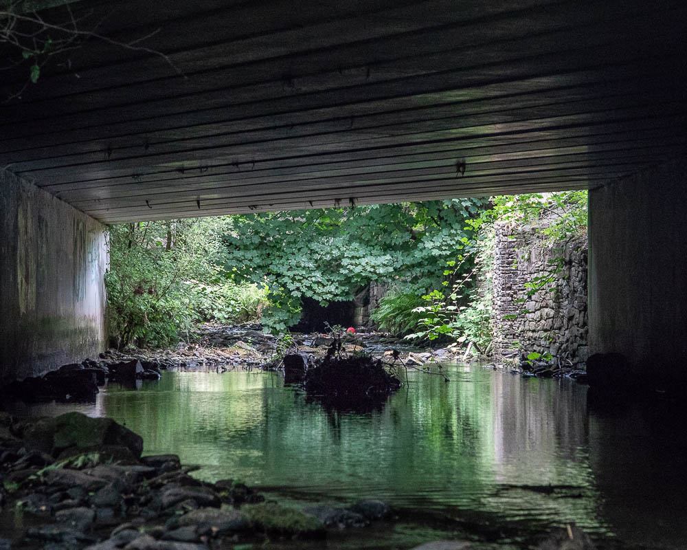
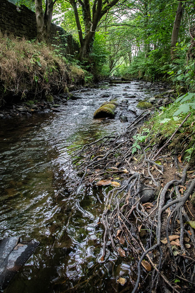
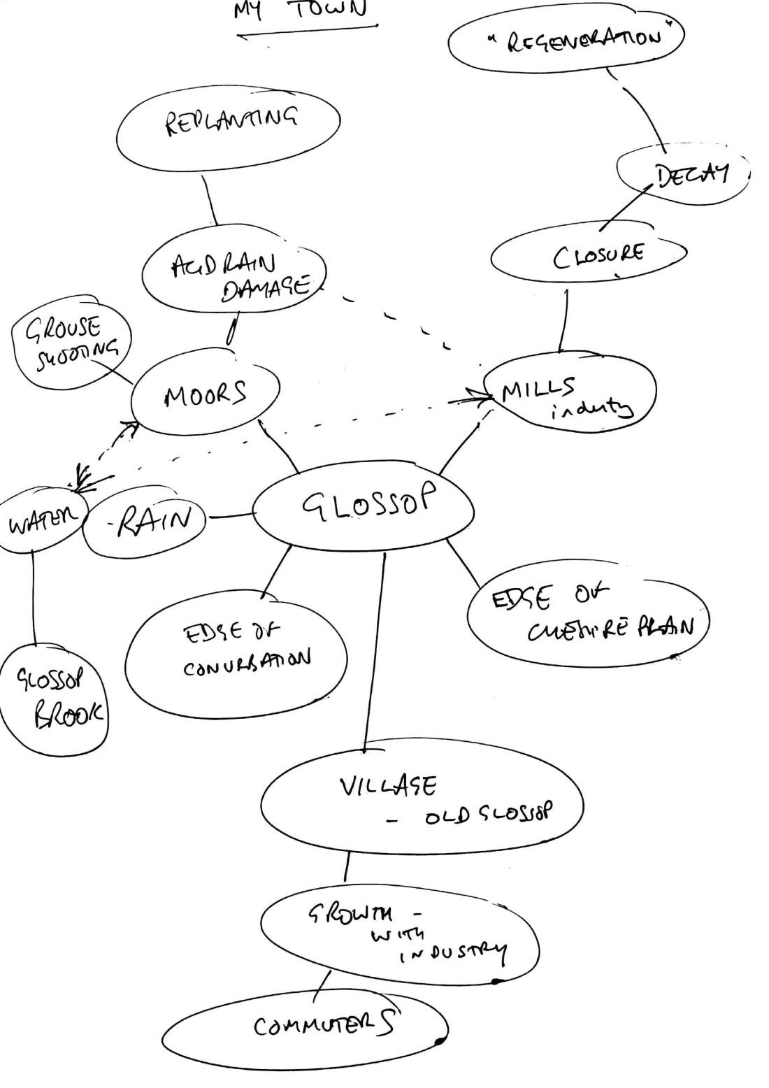
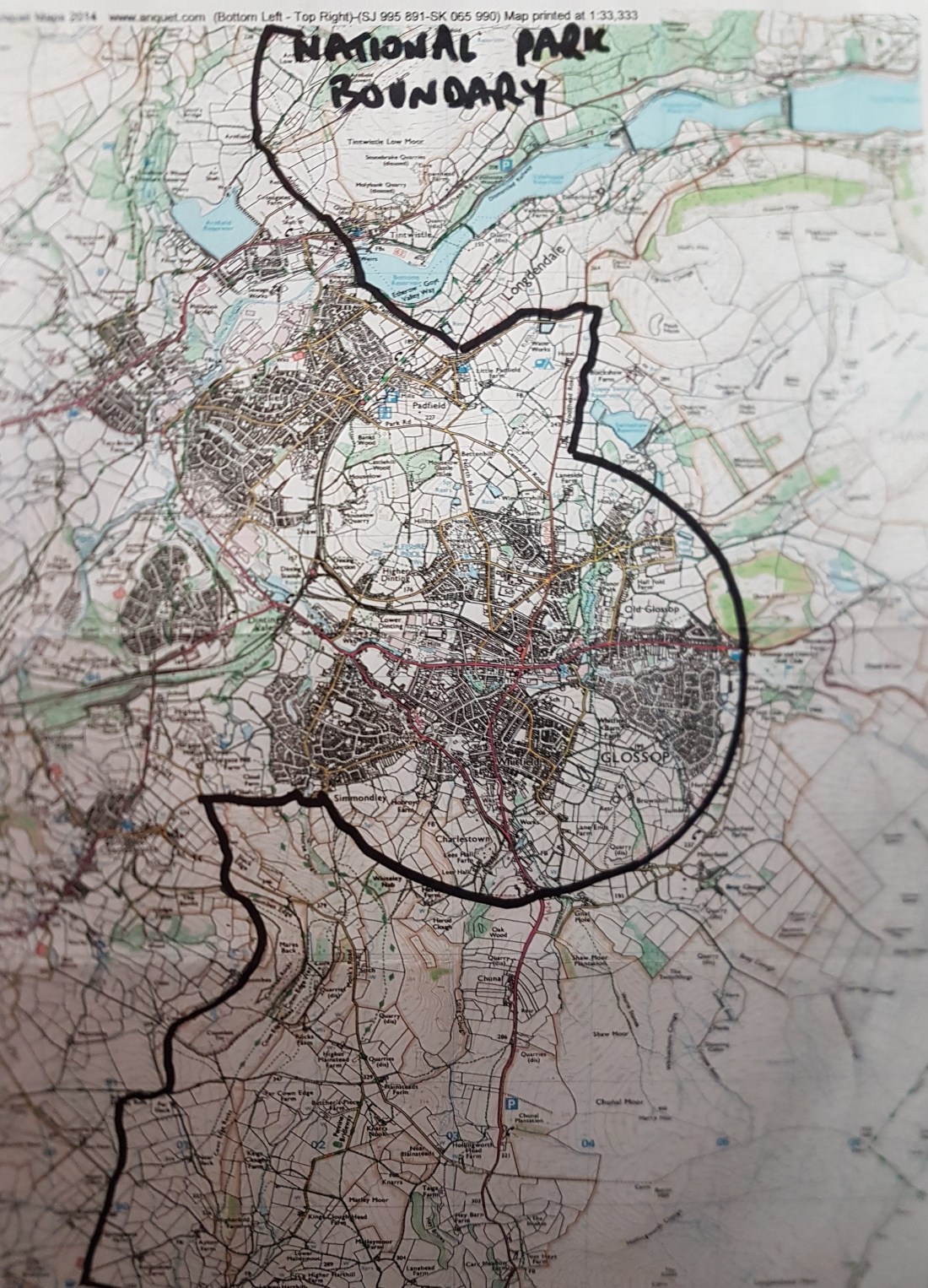
• To gain some ideas for use in my “Square Mile” project
I have outlined above how I see these are relevant. I found most resonance with Ian Macdonald’s work and my own aspirations. However, I felt the images shown very much reflect a period in time, and my current work on “Square Mile” must deal with post-industrialisation and its consequence on the landscape.
• To visit an exhibition and try to understand the range of work shown and the rationale for inclusion
I have looked at some aspects of this, but clearly have a long way to go in this
• To try and study the work more systematically to develop my own assessment/appraisal skills
I have tried to look at each image systematically, but do tend to concentrate on my comfort zone and look at the technical aspect of the image, although I am beginning to understand elements of the intentions of the photographer.